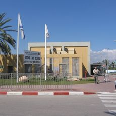
בית רופין
Location: מועצה אזורית עמק המעיינות
GPS coordinates: 32.45941,35.55867
Latest update: November 11, 2025 23:45
Jordan River Crossing
4.5 km
גשר שייח' חוסיין
4.5 km
שמורת גאון הירדן
2.6 km
Washingtonias parkway in Tirat Tzvi
4.5 km
שמורת אבוקה
786 m
תל מנורה
5.1 km
תל נישא
5 km
Water Facilities in Tirat Tzvi
5 km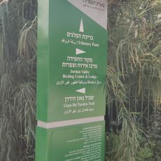
כניסה לפארק הצפרות
440 m
Shemurat Ge'on HaYarden - Ma‘oz H̱ayyim
5.1 km
Shemurat ‘Ein Jinda
4.4 km
Shemurat Avuqa
1.7 km
Shemurat ‘En Yehuda
5.4 km
שמורת זקום כפר רופין
364 m
מצפה מעוז חיים
3.3 km
שמורת זקום מעוז חיים
2.2 km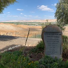
מצפה יורם
3.2 km
Pella Ruins Visitor Center Entrance
5 km
Tabqet Fahel
4.3 km
מצפור יצחק
4.9 km
מצפה גאון הירדן
2.6 km
Wildlife Hide
1.6 km
Ringing Station
1.9 km
נקודת טבילה
2.5 km
ש'יח דאוד
398 m
Tel Peha
2.8 km
Tel `Artal
1.1 km
רוני חמוכה ודני ברזילי
651 mReviews
Visited this place? Tap the stars to rate it and share your experience / photos with the community! Try now! You can cancel it anytime.
Discover hidden gems everywhere you go!
From secret cafés to breathtaking viewpoints, skip the crowded tourist spots and find places that match your style. Our app makes it easy with voice search, smart filtering, route optimization, and insider tips from travelers worldwide. Download now for the complete mobile experience.

A unique approach to discovering new places❞
— Le Figaro
All the places worth exploring❞
— France Info
A tailor-made excursion in just a few clicks❞
— 20 Minutes