#S2
Location: מועצה אזורית עמק הירדן
GPS coordinates: 32.87990,35.56808
Latest update: November 12, 2025 07:44
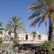
Capernaum
661 m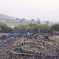
Chorazin
3.5 km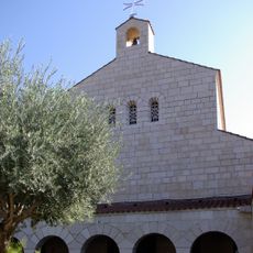
Church of the Multiplication
1.9 km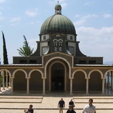
Church of the Beatitudes
1.2 km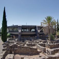
Saint Peter Church, Capernaum
686 m
Khirbat al-Minya
3.4 km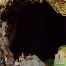
Zuttiyeh
4.7 km
Capernaum synagogue
697 m
Horvat Kur
3 km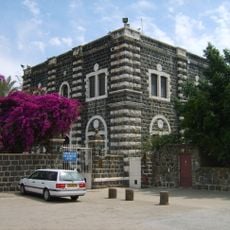
Franciscan Monastery in Capernaum Israel
596 m
מצפה רינה
4.7 km
H̱of Sappirit
1.9 km
H̱of Amnun
2.3 km
Gan Le'ummi Tel Hodim
3.7 km
Shemurat Shefeq HaYarden HaẔefoni
3.6 km
Amnun Beach
2.8 km
Scenic viewpoint
4 km
Scenic viewpoint
679 m
Scenic viewpoint
3.7 km
Scenic viewpoint
1.7 km
Scenic viewpoint
989 m
Scenic viewpoint
1.3 km
Tel Hodim
3.6 km
Eremos Cave
1.7 km
Octagonal Church
692 m
Saint Peter
633 m
Ruins
1.7 km
מפל איוב
1.7 kmReviews
Visited this place? Tap the stars to rate it and share your experience / photos with the community! Try now! You can cancel it anytime.
Discover hidden gems everywhere you go!
From secret cafés to breathtaking viewpoints, skip the crowded tourist spots and find places that match your style. Our app makes it easy with voice search, smart filtering, route optimization, and insider tips from travelers worldwide. Download now for the complete mobile experience.

A unique approach to discovering new places❞
— Le Figaro
All the places worth exploring❞
— France Info
A tailor-made excursion in just a few clicks❞
— 20 Minutes