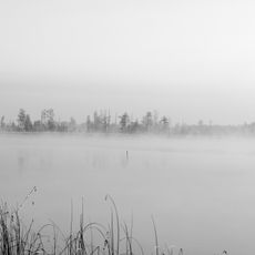
Міський пляж
Location: Сарненська міська громада
GPS coordinates: 51.32070,26.63454
Latest update: November 6, 2025 08:03
Rivne Nature Reserve
16.9 km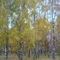
Arboretum of Bereznivskyi Forestry College
35.9 km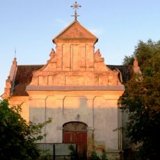
Костел святих Петра і Павла (Олика)
23.5 km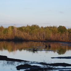
Bryshche
31.4 km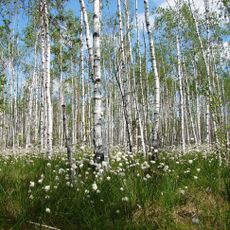
Marais de Somyne
16.7 km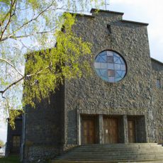
Church of the Transfiguration (Sarny)
3.2 km
Historisches und ethnografisches Museum Sarny
2.6 km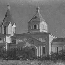
Church of the Nativity of the Theotokos
28.6 km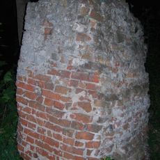
Castle Stepaniu
31.3 km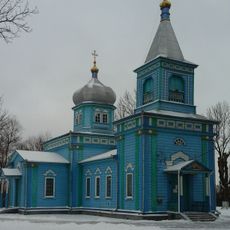
Saint Nicholas church
27.9 km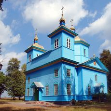
Saint Nicholas Orthodox church in Horodets
23.9 km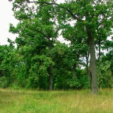
Rozvylka Protected Tract
2.9 km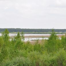
Urochyshche «Vovcha Hora»
4.7 km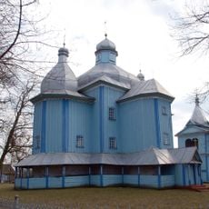
Holy Trinity church, Stepan
31.4 km
Сарненський дендропарк
4.5 km
Костянтинівський лісовий заказник
17.8 km
Protected Tract of beech plantation, Sarne Raion
8.5 km
Цепцевицьке джерело
24.8 km
Chabelskyi Nature Reserve
29.7 km
Урочище «Романщина»
28.1 km
Урочище «Порода»
34.2 km
ДОТ
17.9 km
Садиба Красицького
35.4 km
Мрія
30.9 km
Водосховище Боберське, дамба
25.2 km
Scenic viewpoint
16.9 km
Scenic viewpoint
35.1 km
Scenic viewpoint
21.3 kmReviews
Visited this place? Tap the stars to rate it and share your experience / photos with the community! Try now! You can cancel it anytime.
Discover hidden gems everywhere you go!
From secret cafés to breathtaking viewpoints, skip the crowded tourist spots and find places that match your style. Our app makes it easy with voice search, smart filtering, route optimization, and insider tips from travelers worldwide. Download now for the complete mobile experience.

A unique approach to discovering new places❞
— Le Figaro
All the places worth exploring❞
— France Info
A tailor-made excursion in just a few clicks❞
— 20 Minutes