
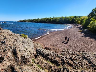
Horseshoe Harbor Beach
Location: Grant Township
Address: High Rock, Bay Rd, Copper Harbor, MI 49918, USA 49918 Copper Harbor
GPS coordinates: 47.47246,-87.80151
Latest update: April 3, 2025 03:47
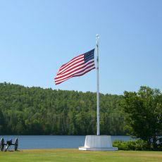
Fort Wilkins Historic State Park
5.2 km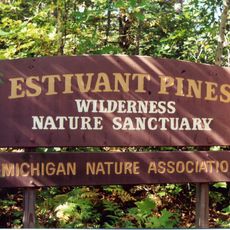
Estivant Pines
6.4 km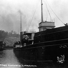
SS S.R. Kirby
33 km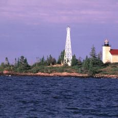
Copper Harbor Light
4.4 km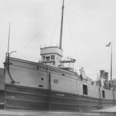
SS Hudson
34.1 km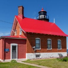
Eagle Harbor Light
27 km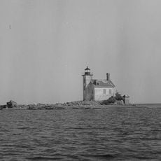
Gull Rock Light Station
12.1 km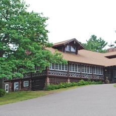
Keweenaw Mountain Lodge and Golf Course Complex
8.1 km
Manitou Island Light Station
17.2 km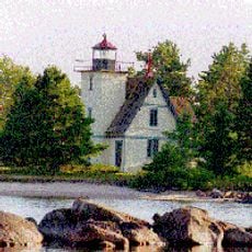
Mendota Light
16.6 km
Central Mine Historic District
30.9 km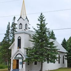
Church of the Assumption
36.9 km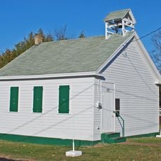
Eagle Harbor Schoolhouse
27.2 km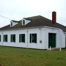
Eagle Harbor Coast Guard Station Boathouse
26.2 km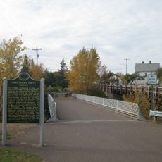
Lake Shore Drive Bridge
37.9 km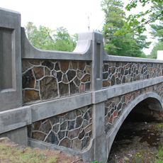
US 41–Fanny Hooe Creek Bridge
5.3 km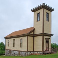
Central Mine Methodist Church
31.2 km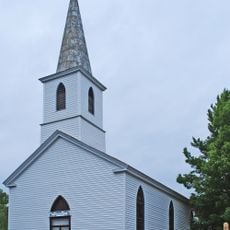
Holy Redeemer Church
27.4 km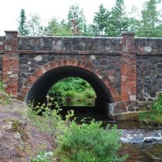
M-26–Silver River Culvert
20.4 km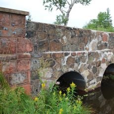
M-26–Cedar Creek Culvert
26.3 km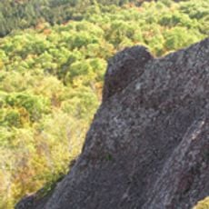
Klipfel
11.8 km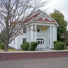
Eagle River Historic District
37.9 km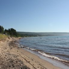
Great Sand Bay Conservation and Recreation Area
31.5 km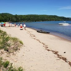
Bete Grise North Public Beach
15.5 km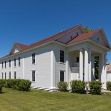
Keweenaw County Courthouse
37.7 km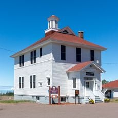
Houghton Township Community Center
37.8 km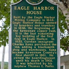
Eagle Harbor House Historical Marker
27.1 km
Hunter's Point Park
6.9 kmVisited this place? Tap the stars to rate it and share your experience / photos with the community! Try now! You can cancel it anytime.
Discover hidden gems everywhere you go!
From secret cafés to breathtaking viewpoints, skip the crowded tourist spots and find places that match your style. Our app makes it easy with voice search, smart filtering, route optimization, and insider tips from travelers worldwide. Download now for the complete mobile experience.

A unique approach to discovering new places❞
— Le Figaro
All the places worth exploring❞
— France Info
A tailor-made excursion in just a few clicks❞
— 20 Minutes