Garrett Island Beach
Website: https://cecillanduse.org/resources/boatramps/Notes_Perryville.html
GPS coordinates: 39.56518,-76.08327
Latest update: November 6, 2025 09:00
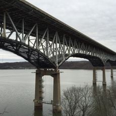
Millard E. Tydings Memorial Bridge
2.5 km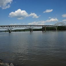
Thomas J. Hatem Memorial Bridge
751 m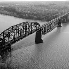
Garrett Island
475 m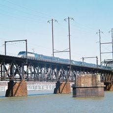
Amtrak Susquehanna River Bridge
1.2 km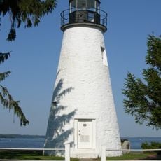
Concord Point Light
2.7 km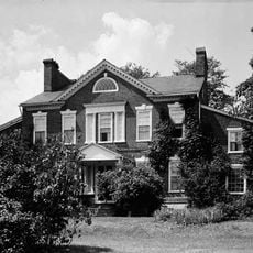
Sion Hill
3.7 km
CSX Susquehanna River Bridge
515 m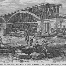
P.W. & B. Railroad Bridge
1.2 km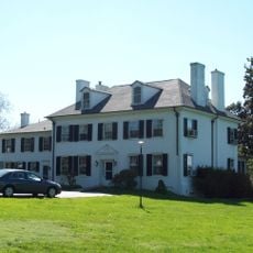
Perry Point Mansion House and Mill
2.1 km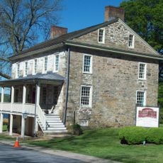
Rodgers Tavern
981 m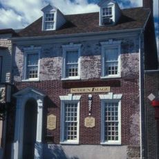
Havre de Grace Historic District
2.1 km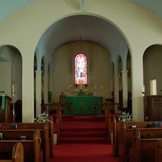
St. Mark's Episcopal Church
2.1 km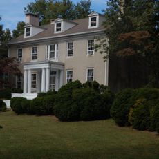
Woodlands
2.3 km
Martha Lewis
3.1 km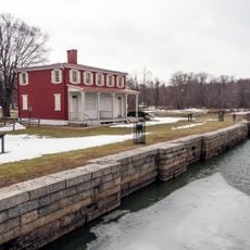
Southern Terminal, Susquehanna and Tidewater Canal
1.4 km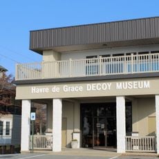
Havre De Grace Decoy Museum
2.8 km
Maritime Museum
2.8 km
State Theatre
1.7 km
Furnace Bay Golf Course
3.5 km
Cultural Center at the Opera House
2 km
Arts by the Bay Gallery
1.8 km
Unlimited Art
2 km
Artists' Emporium
1.9 km
Hand
1.3 km
Big Fish, School of Fish
2.7 km
Mural, Work of art
2 km
Work of art
3.8 km
Cannon
1.6 kmReviews
Visited this place? Tap the stars to rate it and share your experience / photos with the community! Try now! You can cancel it anytime.
Discover hidden gems everywhere you go!
From secret cafés to breathtaking viewpoints, skip the crowded tourist spots and find places that match your style. Our app makes it easy with voice search, smart filtering, route optimization, and insider tips from travelers worldwide. Download now for the complete mobile experience.

A unique approach to discovering new places❞
— Le Figaro
All the places worth exploring❞
— France Info
A tailor-made excursion in just a few clicks❞
— 20 Minutes