
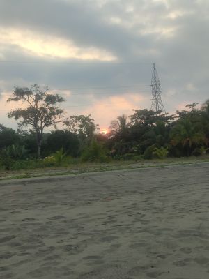
Playa Bananito
Location: Matama
Address: V2WG+26X, Limón, Bananito Sur, Costa Rica Bananito Sur Bananito Sur
GPS coordinates: 9.89106,-82.97060
Latest update: March 25, 2025 22:15

Cerro Chirripó
72.7 km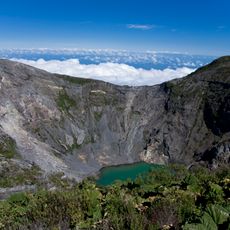
Irazú Volcano
96.7 km
Turrialba
88.1 km
Tortuguero National Park
82.7 km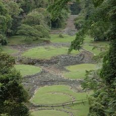
Guayabo National Monument
79.6 km
La Amistad International Park
54.2 km
Cerro de la Muerte
94 km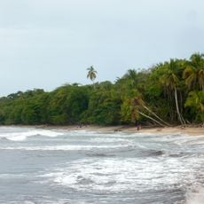
Cahuita National Park
24.1 km
Chirripó National Park
72.2 km
Talamanca Reserve
54 km
Tapantí National Park
91.9 km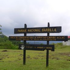
Barbilla National Park
49.6 km
Turrialba Volcano National Park
89 km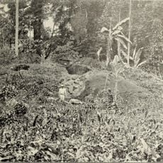
Las Mercedes
77.2 km
Cerro Ventisqueros
75.1 km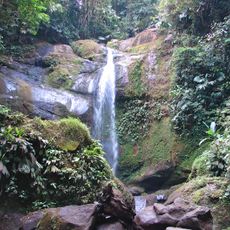
Volio Waterfall
29.6 km
Río Parismina
60.4 km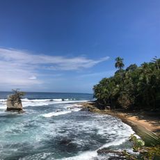
Playa Manzanillo
44.7 km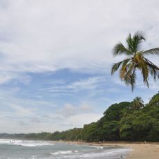
Playa Cocles
37.6 km
Hotel Playa Westfalia
6.5 km
Starfish Beach
89.1 km
Puerto Limón Lighthouse
12.2 km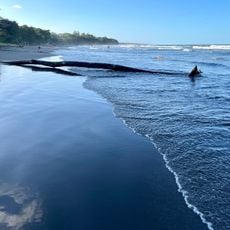
Playa Negra
21.1 km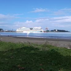
Playa Cieneguita
11.8 km
Talamanca Range-La Amistad Reserves
54 km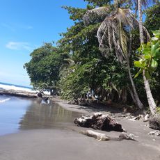
Round Rock Beach
21.7 km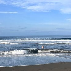
Playa Grande
18.8 km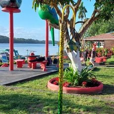
Playa Tortuguero
93 kmReviews
Visited this place? Tap the stars to rate it and share your experience / photos with the community! Try now! You can cancel it anytime.
Discover hidden gems everywhere you go!
From secret cafés to breathtaking viewpoints, skip the crowded tourist spots and find places that match your style. Our app makes it easy with voice search, smart filtering, route optimization, and insider tips from travelers worldwide. Download now for the complete mobile experience.

A unique approach to discovering new places❞
— Le Figaro
All the places worth exploring❞
— France Info
A tailor-made excursion in just a few clicks❞
— 20 Minutes