
Patagonia, Desert region in southern Argentina
The Patagonian Desert is a large arid region in southern Argentina, featuring high plateaus, valleys, and canyons between the Andes and Atlantic Ocean. The landscape consists mostly of low shrubland, barren plains, and scattered ridges that stretch across vast distances.
The region was home to the Tehuelche people for thousands of years, who hunted guanacos and rheas across the land. European settlers began arriving in the 18th century and later established sheep and cattle ranching, transforming the territory completely.
The name comes from the indigenous peoples who roamed here before European settlement transformed the land. Today, sheep farming and scattered towns define the landscape, shaped by constant wind and vast open horizons.
The weather is dry and windy, with temperatures varying from cold to mild depending on season and elevation. Visitors should prepare for variable conditions and bring warm, wind-resistant clothing, as protection from the constant wind is essential.
Despite the dry conditions, fruit and nut orchards thrive here, growing peaches, almonds, and grapes through irrigated valleys. These small green pockets stand out remarkably against the otherwise barren landscape.
Location: Departamento Sarmiento
Address: Patagonian Desert, Río Negro Province, Argentina
GPS coordinates: -44.99006,-69.25604
Latest update: December 6, 2025 19:08
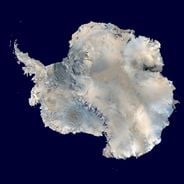
The world's largest desert expanses range from the poles to subtropical areas. From Antarctica with its 14 million square kilometers to the Mojave plains, these regions are characterized by extreme conditions and low rainfall. Polar deserts dominate in area, followed by hot deserts like the Sahara and the Arabian Desert. Each region features specific geological and climatic characteristics, creating distinct landscapes.

Road of the Seven Lakes
524.5 km
Nahuel Huapi National Park
480.2 km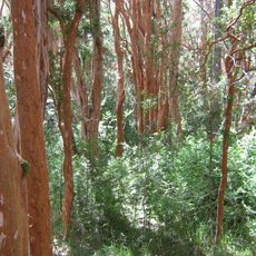
Los Arrayanes National Park
501.1 km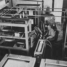
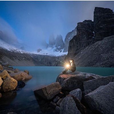
Huemul Project
466 km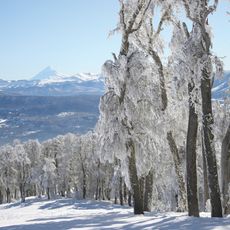
Chapelco
554.9 km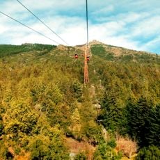
Cerro Otto
461.4 km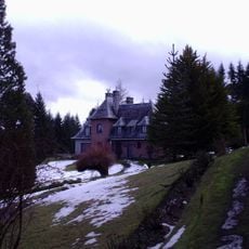
Residencia El Messidor
507.5 km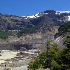
Ventisquero negro
470.5 km
Cerro Piltriquitrón
378.8 km
Cerro Bayo
510.3 km
Cerro López
472 km
Bajada Colorada Formation
578.9 km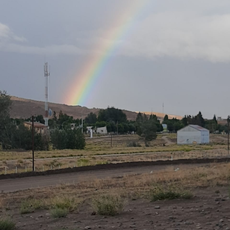
Collón Curá Formation
569.7 km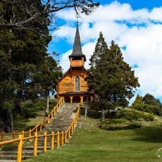
Capilla San Eduardo
475.4 km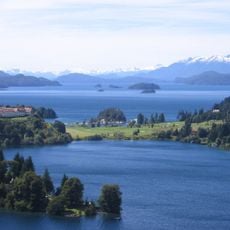
Península Llao Llao
477.2 km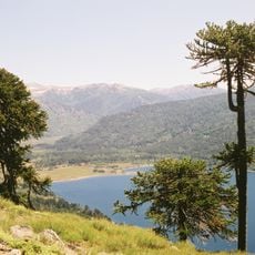
Andino Norpatagonica Biosphere Reserve
463.3 km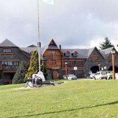
Francisco P. Moreno Museum of Patagonia
460.6 km
Castaño Overa Glacier
477.2 km
Cerro Pirque provincial park
363.6 km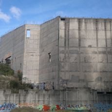
Centro de Congresos y Convenciones de Bariloche
459.8 km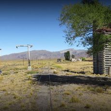
Fitalancao train station
388.8 km
Museo de Arte Contemporáneo Conrad Meier
508.7 km
Cascada de la Virgen
393.1 km
Cerro Lonco Vaca
534.2 km
Museo Del Lago Gutiérrez Dr. Rosendo Pascual
461 km
Cerro Negro
609.1 km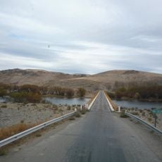
Puente carretero en La Rinconada
570.7 km
Centro Cívico e Intendencia de Parques Nacionales
460.7 kmReviews
Visited this place? Tap the stars to rate it and share your experience / photos with the community! Try now! You can cancel it anytime.
Discover hidden gems everywhere you go!
From secret cafés to breathtaking viewpoints, skip the crowded tourist spots and find places that match your style. Our app makes it easy with voice search, smart filtering, route optimization, and insider tips from travelers worldwide. Download now for the complete mobile experience.

A unique approach to discovering new places❞
— Le Figaro
All the places worth exploring❞
— France Info
A tailor-made excursion in just a few clicks❞
— 20 Minutes