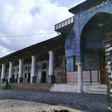
جمهوری برنج
Location: شهر آستانه اشرفیه
GPS coordinates: 37.27576,49.93686
Latest update: October 29, 2025 19:28
Chahar Padshahan
9.7 km
Iran's National Tea Museum
11.3 km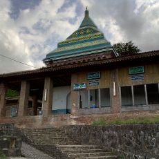
Sheikh-Zahed Tomb
12.7 km
Niyaku Small Adobe Bridge
3.6 km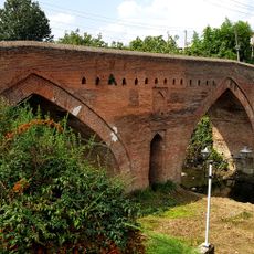
Adobe Bridge
8.8 km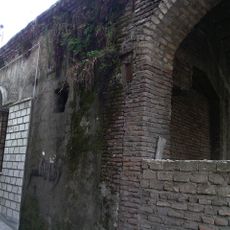
Golshan Hammam (Lahijan)
9.7 km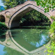
Adobe Bridge
15.2 km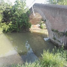
Niyaku Adobe Bridge
4.1 km
Safrabasteh Forest
7.3 km
اتش نشانی
16 km
Lahijan
10.7 km
حيدر حسن كلستان سكن
12.8 km
سوق لاهيجان حيدر حسن
9.6 km
احمد فلاح بيتنه لاهيجان
11.7 km
شهربازی
11.4 km
گالری گیجک
10.3 km
سما
14.8 km
Kouhbaneh
11.9 km
آبشار شیطان کوه
10.7 km
Scenic viewpoint
13.2 km
شیطان کوه
11.4 km
شیطان کوه
11.4 km
Scenic viewpoint
12.7 km
گلزار شهدا
10.3 km
حمام گلشن
9.7 km
مسجد سادات محله
11 km
اقا سید نصیر کیا
7.7 km
یاد بود کیتی
7.8 kmReviews
Visited this place? Tap the stars to rate it and share your experience / photos with the community! Try now! You can cancel it anytime.
Discover hidden gems everywhere you go!
From secret cafés to breathtaking viewpoints, skip the crowded tourist spots and find places that match your style. Our app makes it easy with voice search, smart filtering, route optimization, and insider tips from travelers worldwide. Download now for the complete mobile experience.

A unique approach to discovering new places❞
— Le Figaro
All the places worth exploring❞
— France Info
A tailor-made excursion in just a few clicks❞
— 20 Minutes