TO THE SKY
Location: 松本市
Creator: K.SUMIKAWA
Made from material: stone
Creator: K.SUMIKAWA
GPS coordinates: 36.25687,137.98156
Latest update: October 29, 2025 23:06
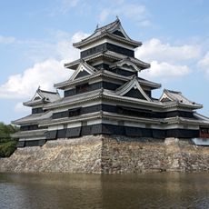
Matsumoto Castle
2.3 km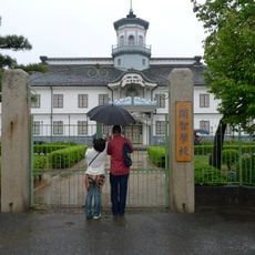
Kaichi School
1.9 km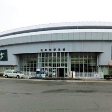
Matsumoto Baseball Stadium
660 m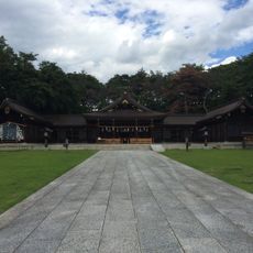
Naganoken-Gokoku-jinja
338 m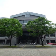
長野縣松本文化會館
107 m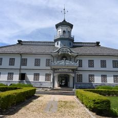
Former Kaichi School
1.9 km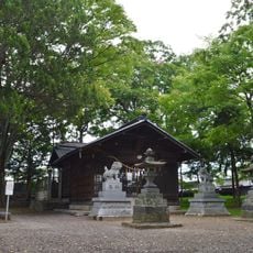
伊和神社
2.2 km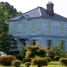
Former Catholic Parsonage
2 km
Matsumoto Folkcraft Museum
2 km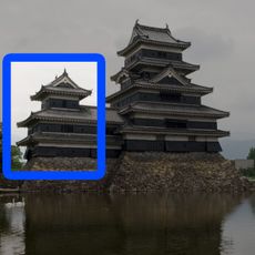
Inui Kotenshu
2.3 km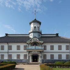
Former Kaichi School Building
2 km
二ツ井戸小路
2.1 km
昭和初年の旧町名旭町
1.3 km
松本市制100周年
2.3 km
Statue, Work of art
2.2 km
江戸時代末の旧町名安原町
1.6 km
江戸時代末の旧町名天白町
1.4 km
江戸時代末の旧町名中ノ丁
1.3 km
江戸時代末の旧町名東ノ丁
1.3 km
風光る
136 m
Statue, Work of art
2.2 km
美ヶ原登山口
1.2 km
不動之瀧
1.2 km
土地家屋調査士制度発祥の地
98 m
Stele, memorial
2.2 km
Stele, memorial
2.3 km
堀内桂次郎先生碑
2.2 km
松本神社
2.2 kmReviews
Visited this place? Tap the stars to rate it and share your experience / photos with the community! Try now! You can cancel it anytime.
Discover hidden gems everywhere you go!
From secret cafés to breathtaking viewpoints, skip the crowded tourist spots and find places that match your style. Our app makes it easy with voice search, smart filtering, route optimization, and insider tips from travelers worldwide. Download now for the complete mobile experience.

A unique approach to discovering new places❞
— Le Figaro
All the places worth exploring❞
— France Info
A tailor-made excursion in just a few clicks❞
— 20 Minutes