Flamme des Friedens
Location: Hollabrunn
Inception: January 1, 2012
GPS coordinates: 48.54312,16.05833
Latest update: November 14, 2025 07:55
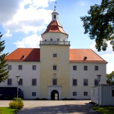
Schloss Sonnberg
551 m
WRT Ring Hollabrunn
1.1 km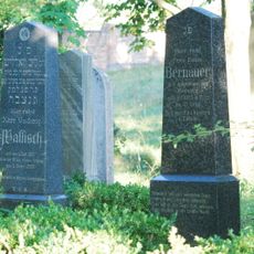
Israelitischer Friedhof
979 m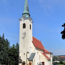
Pfarrkirche Sonnberg
261 m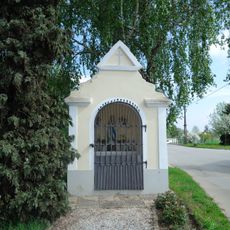
Wegkapelle
43 m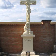
Sonnberg Friedhofskreuz
265 m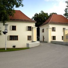
Pförtnerhäuschen
501 m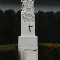
Sonnberg Gnadenstuhl
393 m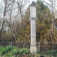
Bildstock
663 m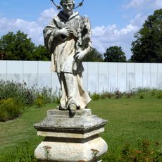
Figur heiliger Johannes Nepomuk im Schlosspark
524 m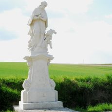
Figur heiliger Johannes Nepomuk
852 m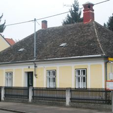
Sonnberg Pfarrhof
233 m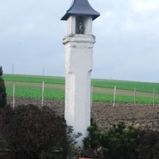
Dietersdorf Bildstock
1.1 km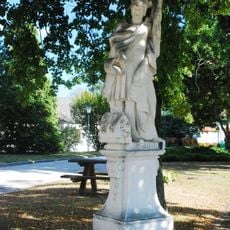
Statue heiliger Florian
281 m
Wayside cross
279 m
Wayside cross
816 m
Wayside cross, Christianity
659 m
Friedenskreuz
1.3 km
Wayside cross, Christianity
1 km
Wayside cross
258 m
House of prayer, place of worship, wayside shrine
1.5 km
Catholic church building, place of worship, wayside cross, Christianity, house of prayer
900 m
Wayside cross
1.1 km
Rostige Leid
1.4 km
Wayside cross
1 km
Wayside cross
738 m
Memorial, war memorial
302 m
Memorial
1.1 kmReviews
Visited this place? Tap the stars to rate it and share your experience / photos with the community! Try now! You can cancel it anytime.
Discover hidden gems everywhere you go!
From secret cafés to breathtaking viewpoints, skip the crowded tourist spots and find places that match your style. Our app makes it easy with voice search, smart filtering, route optimization, and insider tips from travelers worldwide. Download now for the complete mobile experience.

A unique approach to discovering new places❞
— Le Figaro
All the places worth exploring❞
— France Info
A tailor-made excursion in just a few clicks❞
— 20 Minutes