Hund
Location: Linz
Inception: January 1, 1965
Creator: Thomas Pühringer
Creator: Thomas Pühringer
GPS coordinates: 48.32751,14.28400
Latest update: November 14, 2025 12:51
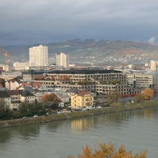
Urfahr
1.1 km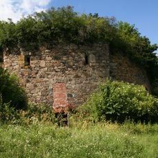
Turmbefestigung Linz
1.3 km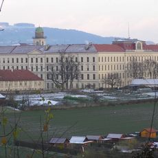
Petrinum Linz
1.1 km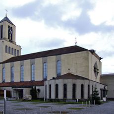
Christkönigkirche
1.1 km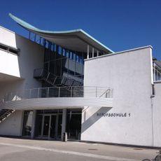
Berufsschule Linz 1
1.2 km
Kath. Pfarrkirche Hl. Markus
806 m
Calvary & stations of the cross, Pöstlingberg
1.1 km
Pförtnerhaus Urnenhain, Linz
788 m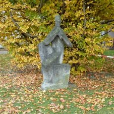
Figurenbildstock
1.1 km
Mariensäule (Linz Knabenseminarstraße)
1.2 km
Mariensäule, Kreuzweg, Linz-Urfahr
1.1 km
Wasserwerk Heilham
601 m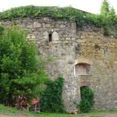
Turm 20
1.3 km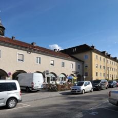
Harbachsiedlung
199 m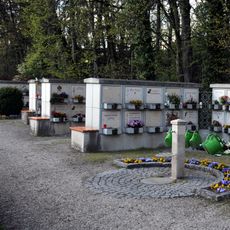
Urnenhain/Columbarium
971 m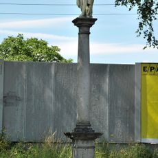
Geißelsäule
1 km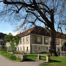
Leisenhof und Holzingergütl, Linz-Urfahr
1.2 km
Bachlfeldsiedlung
188 m
Gründbergsiedlung
587 m
Harbachsiedlung 2. Teil
399 m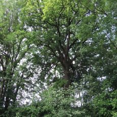
Eiche im Stadtteil Harbach
428 m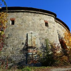
Maximilianturm, Befestigungsturm XXIV, Linz
1.1 km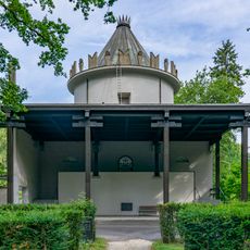
Alte Feuerhalle
634 m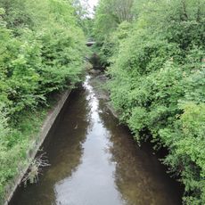
Pulvermühlbach in Linz
1.3 km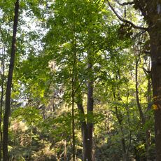
Edelkastanie am Pöstlingberg
1.1 km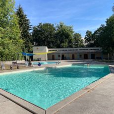
Kinderbad Weigunystraße
481 m
Turm 20 Theater & Kulturverein
1.3 km
Sparkasse Antenne
1.3 kmReviews
Visited this place? Tap the stars to rate it and share your experience / photos with the community! Try now! You can cancel it anytime.
Discover hidden gems everywhere you go!
From secret cafés to breathtaking viewpoints, skip the crowded tourist spots and find places that match your style. Our app makes it easy with voice search, smart filtering, route optimization, and insider tips from travelers worldwide. Download now for the complete mobile experience.

A unique approach to discovering new places❞
— Le Figaro
All the places worth exploring❞
— France Info
A tailor-made excursion in just a few clicks❞
— 20 Minutes