Freibad
Location: Schönkirchen-Reyersdorf
GPS coordinates: 48.36865,16.69314
Latest update: July 20, 2025 13:54
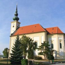
Pfarrkirche
442 m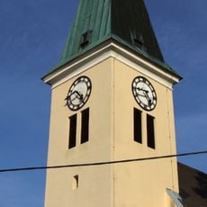
Filialkirche
662 m
Ernestinenhof
2 km
Schloss Schönkirchen
508 m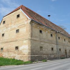
Schüttkasten (Schönkirchen)
604 m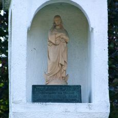
Schwedenkreuz
454 m
Schönkirchner Tor
2.7 km
Grabkreuz
428 m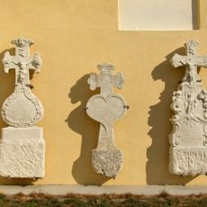
Grabkreuz
428 m
Hl. Nepomuk
891 m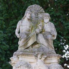
Dreifaltigkeitssäule
492 m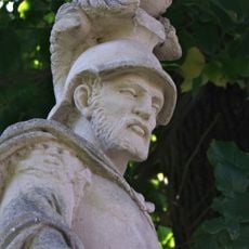
Hl. Florian
658 m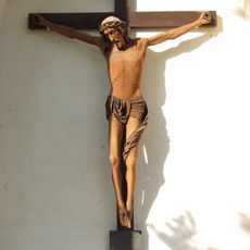
Freiplastik
455 m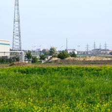
Awarisches Gräberfeld Schönkirchen
1.4 km
Wayside cross
183 m
Memorial, war memorial
685 m
Catholic church building, wayside cross, Christianity
884 m
Wayside shrine, Christianity
237 m
Wayside cross
969 m
Wayside cross
1.2 km
Weite Felder
253 m
Wayside cross
1.9 km
Bildstock Luger
2.5 km
Schi am Zaun
803 m
Wayside shrine
1.8 km
Wayside cross
2.5 km
Wayside shrine
2.5 km
Wayside cross
2.5 kmReviews
Visited this place? Tap the stars to rate it and share your experience / photos with the community! Try now! You can cancel it anytime.
Discover hidden gems everywhere you go!
From secret cafés to breathtaking viewpoints, skip the crowded tourist spots and find places that match your style. Our app makes it easy with voice search, smart filtering, route optimization, and insider tips from travelers worldwide. Download now for the complete mobile experience.

A unique approach to discovering new places❞
— Le Figaro
All the places worth exploring❞
— France Info
A tailor-made excursion in just a few clicks❞
— 20 Minutes