Tjenne
Location: Mettekoven
Location: Heers
Creator: Gerard Moonen
GPS coordinates: 50.79135,5.29309
Latest update: November 14, 2025 01:20
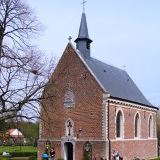
Kapel van Helshoven
1.2 km
Tjenneboom
188 m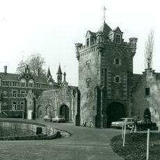
Château de la Motte
1.7 km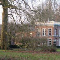
Castle of Voort
1.4 km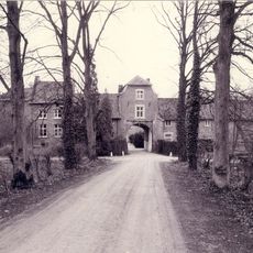
Fonteinhof
1.7 km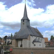
Sint-Dionysius en Sint-Niklaaskerk
1.9 km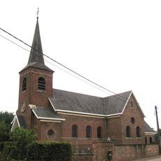
Sint-Martinuskerk
1.2 km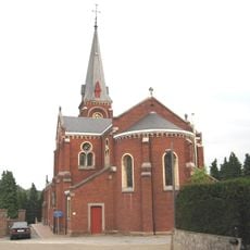
Sint-Martinuskerk
2.2 km
Hammolen
1.8 km
Engelingenmolen
1.1 km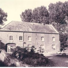
Wijngaardmolen
2.1 km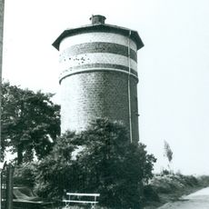
Water tower Groot-Gelmen
2.1 km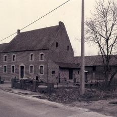
Hoenshovenmolen
1.2 km
Molen van Gotem
1.7 km
Molen van Mettekoven
1.5 km
Scenic viewpoint
193 m
Scenic viewpoint
226 m
Scenic viewpoint
2 km
Château de la Motte
1.7 km
Andreas Gielen
1.2 km
Work of art, sculpture
1.2 km
Scenic viewpoint
1.9 km
Chapel, Catholic church building, wayside shrine, Christianity
2.1 km
Sint-Antonius
1.9 km
Boomkapel
187 m
Catholic church building, Christianity
1 km
Oorlogsmonument
2.1 km
Paus Johannes Paulus II
1.2 kmReviews
Visited this place? Tap the stars to rate it and share your experience / photos with the community! Try now! You can cancel it anytime.
Discover hidden gems everywhere you go!
From secret cafés to breathtaking viewpoints, skip the crowded tourist spots and find places that match your style. Our app makes it easy with voice search, smart filtering, route optimization, and insider tips from travelers worldwide. Download now for the complete mobile experience.

A unique approach to discovering new places❞
— Le Figaro
All the places worth exploring❞
— France Info
A tailor-made excursion in just a few clicks❞
— 20 Minutes