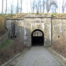
Poussière
Location: Herstal
Inception: January 1, 2016
Creator: Luc Dethier
GPS coordinates: 50.69399,5.56469
Latest update: November 14, 2025 18:47
Fort de Lantin
2.7 km
Fort de Liers
1.4 km
Chemin n° 13
2.4 km
Chemin n° 26
2.5 km
Chemin n° 19
2.9 km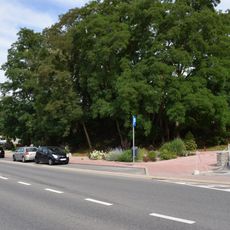
Kasteel van Liers
23 m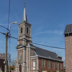
Église Saint-Remacle
3.2 km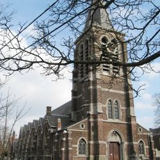
Église Saint-Rémy
112 m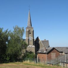
Église Saint-Hubert
2.1 km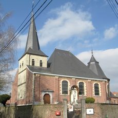
Église Saint-Servais
3 km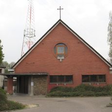
Église Saint-Joseph
2.6 km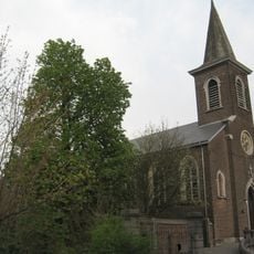
Église Saint-Léon
1.6 km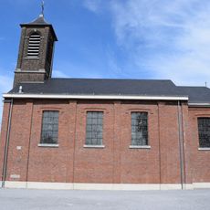
Église Saint-Joseph
1.1 km
Church Saint-Lambert
2.3 km
Catholic church building, place of worship, wayside shrine, Christianity, house of prayer
430 m
WW II
1.3 km
General Dynamics F-16 Fighting Falcon
1.4 km
Wayside cross
2.7 km
Ancien puits de mine
2.8 km
Ancien puits de mine
2.8 km
Calvaire de Vottem
2.5 km
Monument aux Morts
2.9 km
Wayside cross
3.1 km
Wayside cross
2.7 km
Memorial, war memorial
2.3 km
Puits de mines de Rocour
2.9 km
Water well
2.3 km
Ruines de la boulangerie coopérative
2.7 kmReviews
Visited this place? Tap the stars to rate it and share your experience / photos with the community! Try now! You can cancel it anytime.
Discover hidden gems everywhere you go!
From secret cafés to breathtaking viewpoints, skip the crowded tourist spots and find places that match your style. Our app makes it easy with voice search, smart filtering, route optimization, and insider tips from travelers worldwide. Download now for the complete mobile experience.

A unique approach to discovering new places❞
— Le Figaro
All the places worth exploring❞
— France Info
A tailor-made excursion in just a few clicks❞
— 20 Minutes