De Balense Kruier
Location: Balen
Inception: January 1, 1987
Made from material: stone
GPS coordinates: 51.17125,5.16560
Latest update: October 13, 2025 08:32
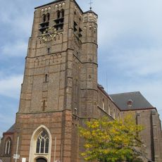
Sint-Andrieskerk
220 m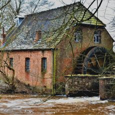
Hoolstmolen, Olmen
2.5 km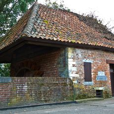
Watermolen te Mol
3.5 km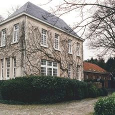
Kasteel van Wezel
3.4 km
Schepskermis
1.7 km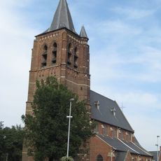
Sint-Willibrorduskerk
3.4 km
Onze-Lieve-Vrouw-Onbevlekt-Ontvangenkerk
2.6 km
Kapel van Gerheide
2.8 km
Schepsmolen
1.9 km
Sint-Thomas van Kantelbergkapel
1.8 km
Onze-Lieve-Vrouw van Bijstandkerk
2 km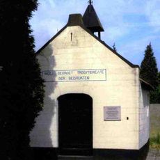
Onze-Lieve-Vrouw Troosteres der Bedruktenkapel
697 m
Kruiermuseum
14 m
Olmen observatory
3.5 km
Sjokolaa
346 m
Sint-Odradakapel Scheps
2.1 km
Wayside shrine, Christianity
2.2 km
Catholic church building, wayside shrine, Christianity
2.5 km
Catholic church building, wayside shrine, Christianity
1.7 km
Wayside shrine, Christianity
436 m
Wayside shrine
2.7 km
Catholic church building, wayside shrine, Christianity
390 m
Tunnelvisie
3 km
Sint Andriesplein
290 m
Wayside shrine
3.4 km
De Schildwacht
165 m
F-84 Thunderstreak
3.5 km
Memorial, war memorial
78 mReviews
Visited this place? Tap the stars to rate it and share your experience / photos with the community! Try now! You can cancel it anytime.
Discover hidden gems everywhere you go!
From secret cafés to breathtaking viewpoints, skip the crowded tourist spots and find places that match your style. Our app makes it easy with voice search, smart filtering, route optimization, and insider tips from travelers worldwide. Download now for the complete mobile experience.

A unique approach to discovering new places❞
— Le Figaro
All the places worth exploring❞
— France Info
A tailor-made excursion in just a few clicks❞
— 20 Minutes