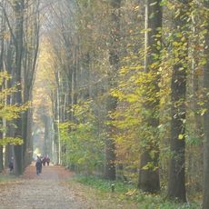
De Kus
Location: Beernem
Creator: Linda Molleman
GPS coordinates: 51.11242,3.31711
Latest update: October 13, 2025 08:28
Lippensgoed-Bulskampveld
1.7 km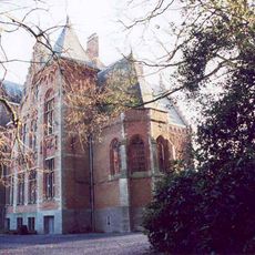
Kasteel Bloemendale
2.2 km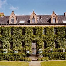
Kasteel Hulstlo
2.2 km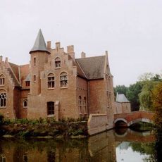
Kasteel Hontzocht
981 m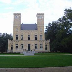
Kasteel Reigerlo
1 km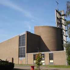
Maria Moeder Godskerk
1.7 km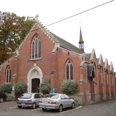
Sint-Joriskerk
2.9 km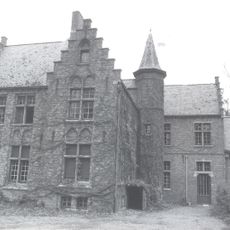
Kasteel Schuurlo
3.1 km
Kasteel Wildenburg
3 km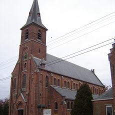
Sint-Janskerk
3.2 km
Landhuis Blauwhuis
2.9 km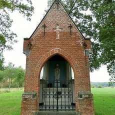
Boskapel
2.7 km
Bulnas Campa
414 m
Scenic viewpoint
2.9 km
Scenic viewpoint
740 m
Scenic viewpoint
785 m
Catholic church building, wayside shrine, Christianity
1.9 km
Gedenksteen voor drie gefusilleerden (W.O. II)
1.7 km
Beachvolleybalterrein Drogenbrood
2.6 km
Work of art, sculpture
1.6 km
Wayside cross
2.8 km
Moordplaats Henri d'Udekem d'Acoz
843 m
Duitse soldaat WO1
793 m
Goed van den Bogaerde
677 m
Catholic church building, wayside cross, Christianity
3 km
Grabas-io-schemovar
429 m
Galgetoren
3.1 km
Christianity, Catholic church building
363 mReviews
Visited this place? Tap the stars to rate it and share your experience / photos with the community! Try now! You can cancel it anytime.
Discover hidden gems everywhere you go!
From secret cafés to breathtaking viewpoints, skip the crowded tourist spots and find places that match your style. Our app makes it easy with voice search, smart filtering, route optimization, and insider tips from travelers worldwide. Download now for the complete mobile experience.

A unique approach to discovering new places❞
— Le Figaro
All the places worth exploring❞
— France Info
A tailor-made excursion in just a few clicks❞
— 20 Minutes