H.Hartbeeld
Location: Vlijtingen
Location: Riemst
GPS coordinates: 50.82923,5.61827
Latest update: October 13, 2025 09:03
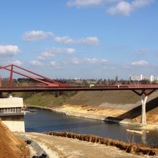
Brug bij Vroenhoven
1.7 km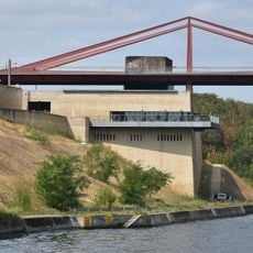
Brug van Vroenhoven
1.7 km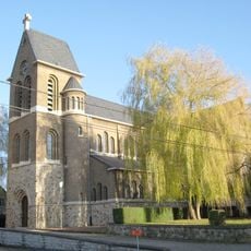
Sint-Petrus en Pauluskerk
1.6 km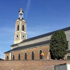
Sint-Albanuskerk
2.1 km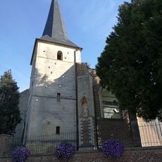
Sint-Quintinuskerk
1.9 km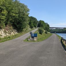
Geologisch talud
1.7 km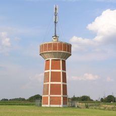
Watertower
1.5 km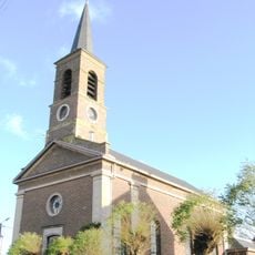
Sint-Michielskerk
1.3 km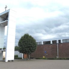
Nieuwe Sint-Quintinuskerk
2 km
Belgium-Netherlands boundary stone no. 81b
2.2 km
Belgium-Netherlands boundary stone no. 81
2.2 km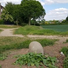
Belgium-Netherlands boundary stone no. 81a
2.2 km
Onze-Lieve-Vrouw-van-Lourdeskapel
7 m
Belgium-Netherlands boundary stone no. 84
2.1 km
Belgium-Netherlands boundary stone no. 84a
2.1 km
Belgium-Netherlands boundary stone no. 82
2.1 km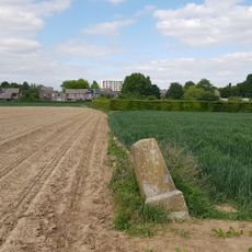
Belgium-Netherlands boundary stone no. 82a
2 km
Scenic viewpoint
1.7 km
Scenic viewpoint
1.8 km
Slag van Lafelt
933 m
Scenic viewpoint
1.5 km
Iers kruis
928 m
Catholic church building, Christianity
1.8 km
Wayside shrine, Christianity, Catholic church building
2.1 km
Romeinse weg - Chorobat
1.8 km
Slag van Lafelt 2 Juli 1747
936 m
Memorial, war memorial
1.6 km
Memorial, commemorative plaque
1.7 kmReviews
Visited this place? Tap the stars to rate it and share your experience / photos with the community! Try now! You can cancel it anytime.
Discover hidden gems everywhere you go!
From secret cafés to breathtaking viewpoints, skip the crowded tourist spots and find places that match your style. Our app makes it easy with voice search, smart filtering, route optimization, and insider tips from travelers worldwide. Download now for the complete mobile experience.

A unique approach to discovering new places❞
— Le Figaro
All the places worth exploring❞
— France Info
A tailor-made excursion in just a few clicks❞
— 20 Minutes