L'Aura
Location: Sainte-Marie-de-Cuines
GPS coordinates: 45.32644,6.30940
Latest update: November 14, 2025 17:31
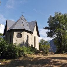
Chapelle de la Balme
2.4 km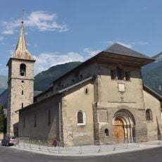
Collégiale Saint-Marcel de La Chambre
3.6 km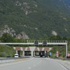
Pont-rivière du Glandon
2.5 km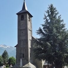
Église de Sainte-Marie-de-Cuines
1.5 km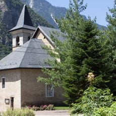
Église Saint-Michel de Pontamafrey
2.9 km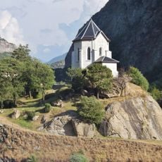
Chapelle de l’Immaculée Conception de Pontamafrey
2.7 km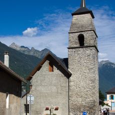
Église Saint-Alban de Saint-Avre
2.8 km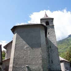
Église de Saint-Étienne-de-Cuines
2.4 km
Chapelle du Bonvoisin
1.6 km
Scenic viewpoint
637 m
Rocher aux Chamois
3.2 km
Scenic viewpoint
972 m
Catholic church building, wayside cross, Christianity
3.3 km
Wayside cross
2.9 km
Chrono man
2.8 km
Wayside cross
2.1 km
Ruins
3 km
Wayside cross, Christianity, Catholic church building
3 km
Christianity, Catholic church building, wayside cross
1.9 km
Sculpture, Work of art
1.1 km
Wayside cross
3.1 km
Wayside cross
2.6 km
Wayside cross
3.4 km
Wayside cross
3.4 km
Wayside cross
3 km
Waterfall
3.3 km
Waterfall
2.5 km
Waterfall
3.3 kmReviews
Visited this place? Tap the stars to rate it and share your experience / photos with the community! Try now! You can cancel it anytime.
Discover hidden gems everywhere you go!
From secret cafés to breathtaking viewpoints, skip the crowded tourist spots and find places that match your style. Our app makes it easy with voice search, smart filtering, route optimization, and insider tips from travelers worldwide. Download now for the complete mobile experience.

A unique approach to discovering new places❞
— Le Figaro
All the places worth exploring❞
— France Info
A tailor-made excursion in just a few clicks❞
— 20 Minutes