
Green Man Life Cycle
Location: County Durham
Creator: Phil Townsend
Website: http://www.sculptedart.co.uk/photo_gallery/Environment%204.htm
Made from material: wood
Creator: Phil Townsend
Website: http://sculptedart.co.uk/photo_gallery/Environment%204.htm
GPS coordinates: 54.67394,-1.87651
Latest update: October 29, 2025 16:15
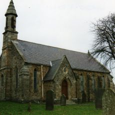
Church of St John Evangelist
5 km
Former Primitive Methodist Chapel
6.2 km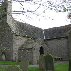
Church of St James
4.7 km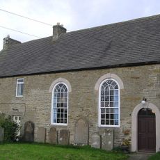
Hamsterley Baptist Chapel
3.8 km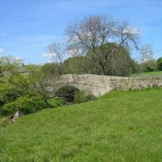
Bradley Burn Bridge
5.8 km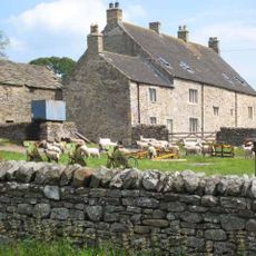
Low Harperley Farmhouse
5.5 km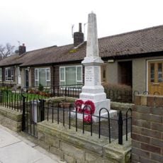
Butterknowle War Memorial
5.8 km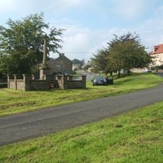
Hamsterley War Memorial
4 km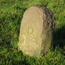
Boundary Stone Circa 400 Metres West Of Windy Nook
5 km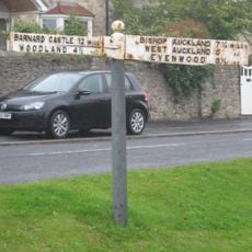
Guide Post Opposite Number 1 South View Cottage
3.9 km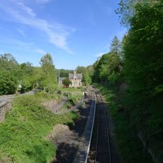
Former Railway Station
5.9 km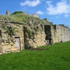
Bradley Hall fortified house and underground passages, moated site, pillow mound and fishponds
5.9 km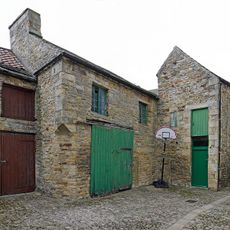
Former Chapel And Buildings Adjoining
6.2 km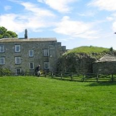
Bradley Hall Farmhouse
5.9 km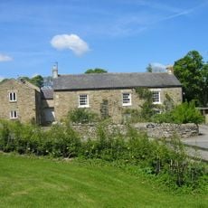
Bradley Burn Farmhouse
5.8 km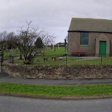
Woodland War Memorial
4.8 km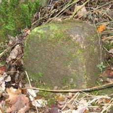
Parish Boundary Stone C.100 Metres East Of Lead Mill House, On South Side Of Road
6 km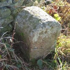
Boundary Stone
4.6 km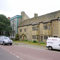
Whitfield House
6.2 km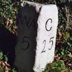
Milestone North Of Witton Le Wear
6 km
Cottage North West Of Low Harperley Farmhouse
5.5 km
Gruffalo
768 m
Gruffalo Child
832 m
Work of art, sculpture
235 m
Work of art, sculpture
6.2 km
Scenic viewpoint
4.4 km
Scenic viewpoint
1.4 km
Scenic viewpoint
3.2 kmReviews
Visited this place? Tap the stars to rate it and share your experience / photos with the community! Try now! You can cancel it anytime.
Discover hidden gems everywhere you go!
From secret cafés to breathtaking viewpoints, skip the crowded tourist spots and find places that match your style. Our app makes it easy with voice search, smart filtering, route optimization, and insider tips from travelers worldwide. Download now for the complete mobile experience.

A unique approach to discovering new places❞
— Le Figaro
All the places worth exploring❞
— France Info
A tailor-made excursion in just a few clicks❞
— 20 Minutes