Stone Spiral
Location: County Durham
Made from material: stone
GPS coordinates: 54.75163,-1.57785
Latest update: November 11, 2025 17:20
Durham University Botanic Garden
1 km
Mount Oswald
1.1 km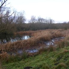
Butterby Oxbow
725 m
Cottage North-West Of Low Burn Hall Farmhouse
631 m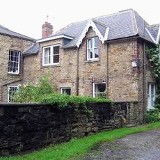
Hollingside House And Wall
1 km
High Houghall Farmhouse
617 m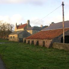
Low Butterby Farmhouse And Barn Adjoining At South-east
452 m
Farewell Hall West Farmhouse, Cottage And Farmbuildings Adjacent On North
852 m
Barn To East Of High Houghall Farmhouse And Shed Attached To North
623 m
Walls Surrounding Paddock To East Of Low Butterby Farmhouse
552 m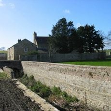
Moat Walls, 2 Bridges Across Moat, Garden Wall And Gate Piers At Low Butterby Farm
462 m
Moated site at Low Butterby Farm
423 m
Two Farmbuildings, Flanking Drive To South East Of Low Butterby Farmhouse
483 m
Barn To North Of High Houghall Farmhouse
612 m
Willow Tunnel
605 m
Barns Of Houghall Farm
885 m
Fungate
935 m
Millennium Bug
1.1 km
Foxglove Post
959 m
Stone Circle
479 m
Mount Oswald (City Golf Club Clubhouse)
1.1 km
Stepping Stones
963 m
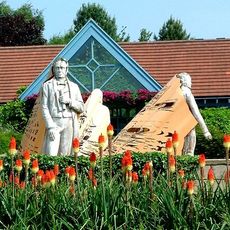
Willow Miner's Wife
1.1 km
Willow Miner
461 m
Vessels of Life
1 km
Miners Children
446 m
Sculpture, Work of art
1.2 km
Scenic viewpoint
543 mReviews
Visited this place? Tap the stars to rate it and share your experience / photos with the community! Try now! You can cancel it anytime.
Discover hidden gems everywhere you go!
From secret cafés to breathtaking viewpoints, skip the crowded tourist spots and find places that match your style. Our app makes it easy with voice search, smart filtering, route optimization, and insider tips from travelers worldwide. Download now for the complete mobile experience.

A unique approach to discovering new places❞
— Le Figaro
All the places worth exploring❞
— France Info
A tailor-made excursion in just a few clicks❞
— 20 Minutes