Confluence
Location: Newcastle upon Tyne
Inception: January 1, 1999
GPS coordinates: 54.97111,-1.59037
Latest update: July 20, 2025 17:35
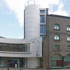
Seven Stories
408 m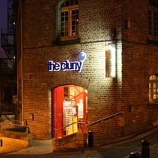
The Cluny
464 m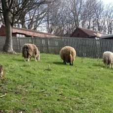
Ouseburn Farm
487 m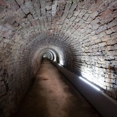
Victoria Tunnel
130 m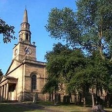
Church of St Ann
296 m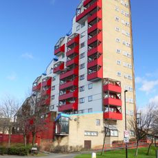
Tom Collins House
508 m
1-75 Dunn Terrace, including Graham House, Wolseley House, The Cabin, YMCA Byker Neighbourhood Youth Project, 1-66 Northumberland Terrace, Salisbury House
468 m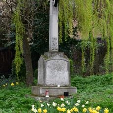
The war memorial cross of St Cuthbert's Church, Newcastle upon Tyne
327 m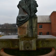
Drinking Fountain And Statue
46 m
Piers, Walls And Railings South Of Former Ouseburn Schools
225 m
Sailors Bethel
81 m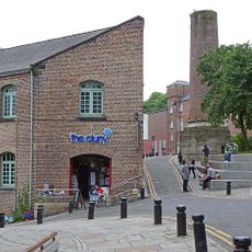
Cluny Warehouse
441 m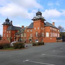
Education Committee Distribution Centre Office (ouseburn Schools)
230 m
Mill South Of Former Flax Mill
435 m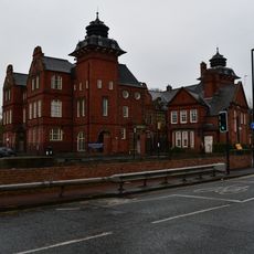
Caretaker's House To Former Ouseburn Schools
215 m
Jim Edwards
443 m
Essalamus
244 m
NCL_25
496 m
1-37 Clive Place
442 m
Young Hearts Run Free
94 m
Furnace Arches
218 m
Blacksmiths Needle
467 m
BottleWorks
200 m
Work of art
434 m
1-35 Low Fold including attached walls, fences and gates
423 m
Mural, Work of art
498 m
Mural, Work of art
500 m
NCL_25
502 mReviews
Visited this place? Tap the stars to rate it and share your experience / photos with the community! Try now! You can cancel it anytime.
Discover hidden gems everywhere you go!
From secret cafés to breathtaking viewpoints, skip the crowded tourist spots and find places that match your style. Our app makes it easy with voice search, smart filtering, route optimization, and insider tips from travelers worldwide. Download now for the complete mobile experience.

A unique approach to discovering new places❞
— Le Figaro
All the places worth exploring❞
— France Info
A tailor-made excursion in just a few clicks❞
— 20 Minutes