
An Ancient Place
Location: Newcastle upon Tyne
Website: https://www.geograph.org.uk/photo/6857535
Website: https://geograph.org.uk/photo/6857535
GPS coordinates: 54.97554,-1.59287
Latest update: October 24, 2025 15:01

Seven Stories
112 m
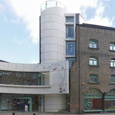
The Cluny
81 m
The Biscuit Factory
331 m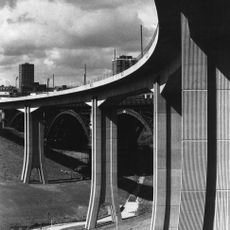
Byker Viaduct
66 m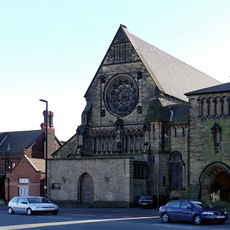
Church of St Dominic
351 m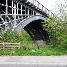
Ouseburn Viaduct
96 m
Milecastle 3
250 m
Ouseburn Farm
100 m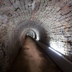
Victoria Tunnel
393 m
Church of St Ann
363 m
1-75 Dunn Terrace, including Graham House, Wolseley House, The Cabin, YMCA Byker Neighbourhood Youth Project, 1-66 Northumberland Terrace, Salisbury House
451 m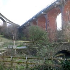
Bridge Over Ouseburn
83 m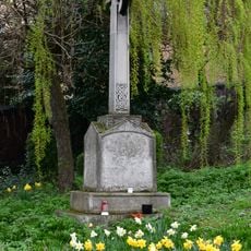
The war memorial cross of St Cuthbert's Church, Newcastle upon Tyne
390 m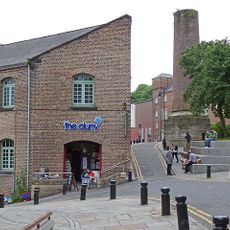
Cluny Warehouse
98 m
Gibson Street Baths
386 m
Sailors Bethel
448 m
Mill South Of Former Flax Mill
92 m
Priory Of St Dominic
322 m
Furnace Arches
339 m
Essalamus
293 m
BottleWorks
357 m
Hadrian's Wall in wall mile 2, Byker section of Hadrian's Wall and presumed site of milecastle 3 at Shields Road West
272 m
Broken Bottle Column
203 m
Cobalt Studios
189 m
Jim Edwards
75 m
1-35 Low Fold including attached walls, fences and gates
414 m
Star and Shadow Cinema
435 m
Mural, Work of art
62 mReviews
Visited this place? Tap the stars to rate it and share your experience / photos with the community! Try now! You can cancel it anytime.
Discover hidden gems everywhere you go!
From secret cafés to breathtaking viewpoints, skip the crowded tourist spots and find places that match your style. Our app makes it easy with voice search, smart filtering, route optimization, and insider tips from travelers worldwide. Download now for the complete mobile experience.

A unique approach to discovering new places❞
— Le Figaro
All the places worth exploring❞
— France Info
A tailor-made excursion in just a few clicks❞
— 20 Minutes