The Plough Horse
Location: Swindon
Inception: January 1, 2022
Creator: Holly Hickmore
Made from material: iron
Creator: Holly Hickmore
GPS coordinates: 51.57845,-1.72835
Latest update: November 29, 2025 13:39
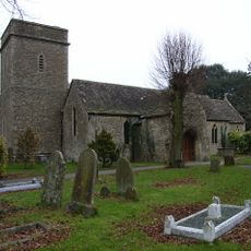
Church of St Margaret
1.1 km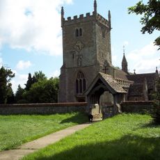
Church of St Mary Magdalen
1.5 km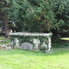
Churchyard Tomb Of Susanah Nicholas Van Acker Of Erith
1 km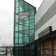
Empire Cinema
2.2 km
Roman Road Bridge (MLN1/75 08)
710 m
73, Swindon Road
1.5 km
41, Green Road
2.6 km
The Red House
982 m
Manor Farmhouse
836 m
Burton Grove Farmhouse
2.3 km
Stratton Park
568 m
Outhouse To North Of Nythe Farmhouse
996 m
Pigeon House To Rear Of Premises Of Coventry Drafting Company
1.6 km
Lower Earlscourt Farmhouse
2.6 km
The Wheatsheaf
1.3 km
Church Farmhouse
1.1 km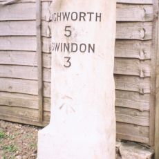
Milestone, Lower Stratton, outside No. 161 Swindon Road
1.7 km
Nightingale Farmhouse
2.1 km
Gordon Cottage
975 m
Dockle Farmhouse
1.9 km
Marston Farmhouse
444 m
Longleaze Farmhouse
1.6 km
Church Farmhouse
1.5 km
Hunts Copse Farmhouse
2.3 km
Lock Keeper's Cottage
506 m
Gate Piers To Former Kingsdown House
2.6 km
Site of Roman town, W of Wanborough House
1.4 km
Concorde Model
2.3 kmVisited this place? Tap the stars to rate it and share your experience / photos with the community! Try now! You can cancel it anytime.
Discover hidden gems everywhere you go!
From secret cafés to breathtaking viewpoints, skip the crowded tourist spots and find places that match your style. Our app makes it easy with voice search, smart filtering, route optimization, and insider tips from travelers worldwide. Download now for the complete mobile experience.

A unique approach to discovering new places❞
— Le Figaro
All the places worth exploring❞
— France Info
A tailor-made excursion in just a few clicks❞
— 20 Minutes