Sundial
Location: Upper Allen Township
GPS coordinates: 40.18361,-76.99712
Latest update: October 26, 2025 10:37

Williams Grove Amusement Park
4.8 km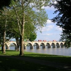
Philadelphia & Reading Railroad Bridge
12.2 km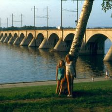
Cumberland Valley Railroad Bridge
12.2 km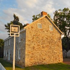
Dill's Tavern
8.3 km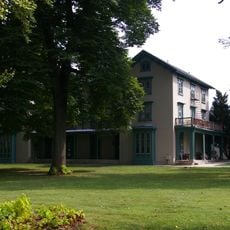
Irving Female College
3.4 km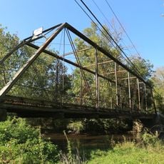
Gilbert Bridge
3.6 km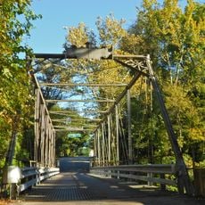
Etters Bridge
9.6 km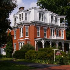
Adam Orris House
3.4 km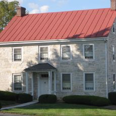
Johannes Eberly House
6.5 km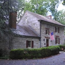
William Black Homestead
10.5 km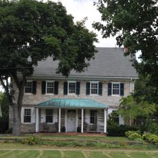
John Williams House
4.9 km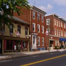
Mechanicsburg Commercial Historic District
3.4 km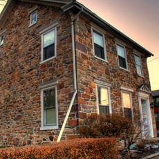
John Wormley House
11.5 km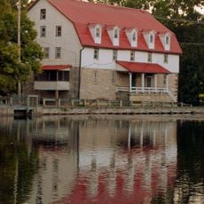
Boiling Springs Historic District
11.8 km
Simpson Street School
3.2 km
George Trimble House
10.5 km
Rev. Anderson B. Quay House
8.7 km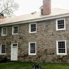
Dill's Tavern
8.3 km
The Oakes Museum of Natural History
3 km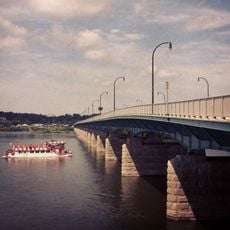
M. Harvey Taylor Memorial Bridge
12.2 km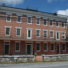
Union Hotel
773 m
Williams Grove Amusement Park
4.8 km
Williams Grove Amusement Park
4.8 km
Circle of Peace
11.7 km
River Cow
7.2 km
Work of art, sculpture
10.3 km
Work of art
8.3 km
Work of art, mural
11.5 kmReviews
Visited this place? Tap the stars to rate it and share your experience / photos with the community! Try now! You can cancel it anytime.
Discover hidden gems everywhere you go!
From secret cafés to breathtaking viewpoints, skip the crowded tourist spots and find places that match your style. Our app makes it easy with voice search, smart filtering, route optimization, and insider tips from travelers worldwide. Download now for the complete mobile experience.

A unique approach to discovering new places❞
— Le Figaro
All the places worth exploring❞
— France Info
A tailor-made excursion in just a few clicks❞
— 20 Minutes