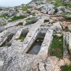
Mt. Nitai
Location: מועצה אזורית גליל תחתון
GPS coordinates: 32.82500,35.48750
Latest update: October 24, 2025 18:52
Mount Arbel
1.8 km
Migdal Synagogue
2.6 km
Arbel synagogue
1.5 km
Villa Melchett
2.9 km
Kfar Zeitim
2.8 km
Arbel Fortress and Caves
1.2 km
Beit HaRishonim, Migdal
2.5 km
Kloster Palmaria
2.4 km
Arbel National Park and Nature Reserve
1.9 km
H̱of Migdela
2.9 km
El Mul Kinneret View Point
1.4 km
H̱of Ilanot
3.4 km
H̱of Arbel
2.9 km
הר הנמלה
3 km
Western view point
702 m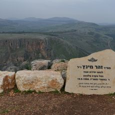
מצפור מינץ
1 km
Ruins
902 m
Carob View Point
1.1 km
קבר שת
1 km
Yael Ar (1939-2006)
2 km
Scenic viewpoint
709 m
Scenic viewpoint
2.8 km
קלעת אבו-מען
847 m
קברי ראובן שמעון לוי ודינה
1 km
Scenic viewpoint
2.9 km
Scenic viewpoint
638 m
מבנה ומערות
1.2 km
סלע הנמלה
3.2 kmReviews
Visited this place? Tap the stars to rate it and share your experience / photos with the community! Try now! You can cancel it anytime.
Discover hidden gems everywhere you go!
From secret cafés to breathtaking viewpoints, skip the crowded tourist spots and find places that match your style. Our app makes it easy with voice search, smart filtering, route optimization, and insider tips from travelers worldwide. Download now for the complete mobile experience.

A unique approach to discovering new places❞
— Le Figaro
All the places worth exploring❞
— France Info
A tailor-made excursion in just a few clicks❞
— 20 Minutes