
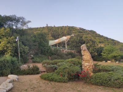
Menahem viewpoint
Location: מועצה אזורית מרום הגליל
GPS coordinates: 32.93628,35.45671
Latest update: November 12, 2025 08:27
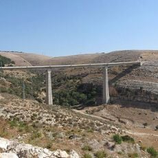
Akbar Bridge
4.1 km
Mizpe Yammim
460 m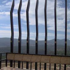
The Seven Olei Hagardom Memorial
4.6 km
Har Mesarevim
3.8 km
Rekhes Livnim
4.2 km
Environmental Sculpture
2.1 km
Me‘arat Sekhwi
4.2 km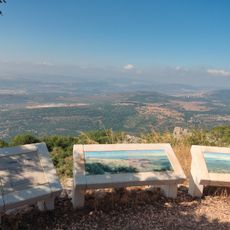
Mizpe Yammim
459 m
חורבת סלע
3.7 km
שייח כוואס
2.7 km
Scenic viewpoint
3.4 km
תצפית הר כפיר
4.2 km
Scenic viewpoint
3.7 km
Scenic viewpoint
2.4 km
Scenic viewpoint
3.7 km
חורבת שונה
4.2 km
חורבת עקביה
4.1 km
Scenic viewpoint
1.2 km
Castle
4.3 km
Castle
4.3 km
טחנת קמח
2.9 km
Tomb, mausoleum
2.6 km
קבר רבי ינאי
4.2 km
משטרת עין תינה
4.3 km
מפלי פרוד
2.4 km
Waterfall
2.9 km
מפל פרוד התחתון
2.8 km
מפל הגשר
4.5 kmReviews
Visited this place? Tap the stars to rate it and share your experience / photos with the community! Try now! You can cancel it anytime.
Discover hidden gems everywhere you go!
From secret cafés to breathtaking viewpoints, skip the crowded tourist spots and find places that match your style. Our app makes it easy with voice search, smart filtering, route optimization, and insider tips from travelers worldwide. Download now for the complete mobile experience.

A unique approach to discovering new places❞
— Le Figaro
All the places worth exploring❞
— France Info
A tailor-made excursion in just a few clicks❞
— 20 Minutes