
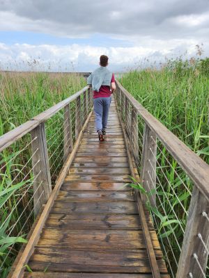
Floating trail
Location: מועצה אזורית גליל עליון
GPS coordinates: 33.07450,35.60244
Latest update: October 28, 2025 23:05
Tel Hazor
7 km
Al-Nabi Yusha'
6.1 km
Tegart fort
6.3 km
Dubrovin Farm
1.4 km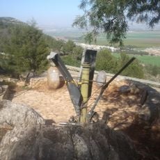
Ran Overlook
5.1 km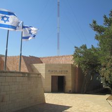
HaReut Museum
6.3 km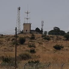
Ramot Naftali Fortress
5.4 km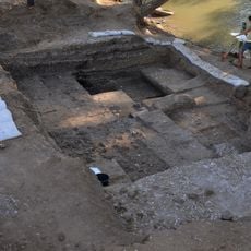
Jordan River Dureijat
6.3 km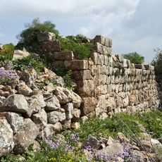
Keren Naftali Castle
4.2 km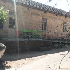
Ayelet HaShahar Shoemaking Workshop
6.3 km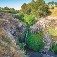
Dvora Waterfall
7 km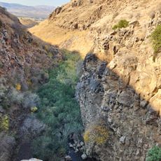
גלעד קאן
6.8 km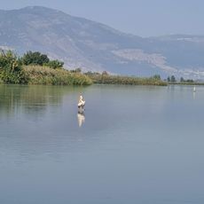
Water birds lookout
2.7 km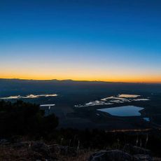
Qeren Naftai Lookout
3.9 km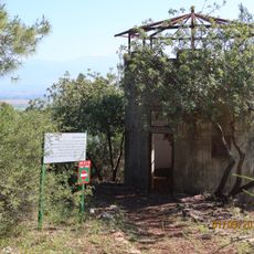
Yuval Nir Pillbox Observation Tower
5.9 km
Scenic viewpoint
3.8 km
מצפור העגורים
3.6 km
מצודת כח
6.2 km
Agmon HaHula
3.3 km
Agamon Hula lookout
5.5 km
Scenic viewpoint
4.2 km
מצפור תעלת אגם החולה
607 m
Scenic viewpoint, tower
207 m
Scenic viewpoint
7.1 km
Agamon Sky Ride
5.3 km
KKL Hula Lake Visitor Center
4.3 km
חללי מערכות ישראל
5.9 km
המשאבה הראשונה
4.5 kmReviews
Visited this place? Tap the stars to rate it and share your experience / photos with the community! Try now! You can cancel it anytime.
Discover hidden gems everywhere you go!
From secret cafés to breathtaking viewpoints, skip the crowded tourist spots and find places that match your style. Our app makes it easy with voice search, smart filtering, route optimization, and insider tips from travelers worldwide. Download now for the complete mobile experience.

A unique approach to discovering new places❞
— Le Figaro
All the places worth exploring❞
— France Info
A tailor-made excursion in just a few clicks❞
— 20 Minutes