מצפה חנה
Location: מועצה אזורית עמק הירדן
GPS coordinates: 32.91592,35.59682
Latest update: October 24, 2025 18:53
Bethsaida
3.2 km
Chorazin
3.1 km
Arik Bridge
2.2 km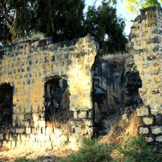
בית הבק
3.3 km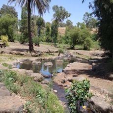
Jordan River park
3.1 km
Ed-Dikke synagogue
2.8 km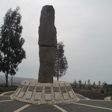
Memorial to the Fallen of Tel Mutila Battle
1.2 km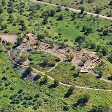
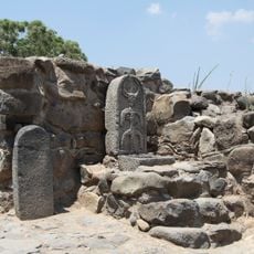
Et-Tell
3.2 km
מצפה רינה
177 m
H̱of Sappirit
3.4 km
Shemurat Shefeq HaYarden HaẔefoni
2.6 km
H̱of Amnun
3.2 km
Segev lookout
1.4 km
גשר הדודות (הרוס)
3 km
Scenic viewpoint
1.1 km
Abu Kayak
2.8 km
Scenic viewpoint
1.5 km
Horvat Zeviya
3 km
חנה איזנברג
3.1 km
תל מוטילה
1.2 km
Amnun Beach
2.8 km
Scenic viewpoint
3.2 km
טחנת קמח
2.7 km
Statue, Work of art
940 m
Kh. Khati
2.2 km
ח. כרי דשא
2.1 km
El Araj
3.3 km
Scenic viewpoint
2 kmReviews
Visited this place? Tap the stars to rate it and share your experience / photos with the community! Try now! You can cancel it anytime.
Discover hidden gems everywhere you go!
From secret cafés to breathtaking viewpoints, skip the crowded tourist spots and find places that match your style. Our app makes it easy with voice search, smart filtering, route optimization, and insider tips from travelers worldwide. Download now for the complete mobile experience.

A unique approach to discovering new places❞
— Le Figaro
All the places worth exploring❞
— France Info
A tailor-made excursion in just a few clicks❞
— 20 Minutes