
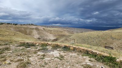
מצפור דרך ארץ המרדפים
Location: שטח C
GPS coordinates: 31.82183,35.35358
Latest update: November 12, 2025 06:14
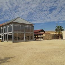
Good Samaritan Museum
786 m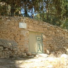
Paran Monastery.
5 km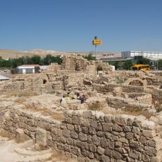
Laura of Euthymius
3.7 km
Magic Kass-מג'יק קאס
4.4 km
Maghārat al Juththah
4.6 km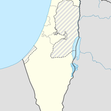
Al Ka‘ābinah
2.9 km
Mountain Top View
2.2 km
תצפית טיבק קוטייף
4.3 km
גינה ציבורית עם תצפית לנחל פרת. יש ממנה גם יציאה לסינגל בכיוון הנחל
1.9 km
Wadi Og Viewpoint
1.9 km
Orit viewpoint
1.5 km
Scenic viewpoint
3.3 km
חורבת שילחה
4.3 km
מצפה השישה
2.3 km
Scenic viewpoint
4.1 km
Scenic viewpoint
4.3 km
הר חורון
4.8 km
מערת צאן
2.8 km
Scenic viewpoint
3.2 km
אמת מים
4.9 km
מרפסת ים המלח
4.8 km
Chastel Rouge
887 m
ארמון הרודיאני
595 m
Aqueduct
4.7 km
מקדש כנעני פתוח
4.4 km
Mandatory Guard Station
3.4 km
Cliff, waterfall
3.6 km
Waterfall
4.9 kmReviews
Visited this place? Tap the stars to rate it and share your experience / photos with the community! Try now! You can cancel it anytime.
Discover hidden gems everywhere you go!
From secret cafés to breathtaking viewpoints, skip the crowded tourist spots and find places that match your style. Our app makes it easy with voice search, smart filtering, route optimization, and insider tips from travelers worldwide. Download now for the complete mobile experience.

A unique approach to discovering new places❞
— Le Figaro
All the places worth exploring❞
— France Info
A tailor-made excursion in just a few clicks❞
— 20 Minutes