
.
Location: שטח C
GPS coordinates: 31.73632,35.31710
Latest update: October 24, 2025 18:55
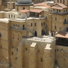
Holy Lavra of Saint Sabbas
3.7 km
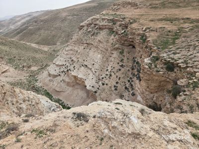
Hyrcania
5 km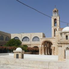
Monastery of St. Theodosius
3.7 km
ח'רבת חרד'אן
4.5 km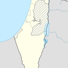
Mughr ar Rubūd
4.6 km
Ash Shaykh Sa‘d
5.7 km
Al ‘Ubaydīyah
3.3 km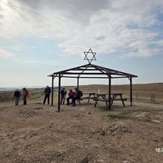
נקודת תצפית מזרח:צפון, מערב.
1.4 km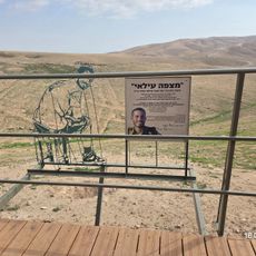
מצפה עילאי
221 m
Maghārat as Saddah
5.2 km
Scenic viewpoint
4.1 km
Scenic viewpoint
3.2 km
Scenic viewpoint
3.7 km
Scenic viewpoint
3.6 km
אנדרטת "ידי אהבה"
4.3 km
Work of art, sculpture
4.3 km
حرزان
4.5 km
Scenic viewpoint
3.3 km
ביר אבו שועלה
4.5 km
Scenic viewpoint
3.7 km
לאורה ירמיהו
4.6 km
Kastellion
5 km
מנהרת המדרגות המערבית
5 km
מבצר הורקניה
5 km
Scenic viewpoint
2.8 km
Scenic viewpoint
5.2 km
Scenic viewpoint
2.6 km
Scenic viewpoint
5.3 kmReviews
Visited this place? Tap the stars to rate it and share your experience / photos with the community! Try now! You can cancel it anytime.
Discover hidden gems everywhere you go!
From secret cafés to breathtaking viewpoints, skip the crowded tourist spots and find places that match your style. Our app makes it easy with voice search, smart filtering, route optimization, and insider tips from travelers worldwide. Download now for the complete mobile experience.

A unique approach to discovering new places❞
— Le Figaro
All the places worth exploring❞
— France Info
A tailor-made excursion in just a few clicks❞
— 20 Minutes