
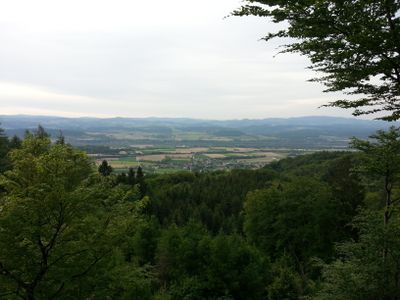
Scenic viewpoint
Location: Zelking-Matzleinsdorf
GPS coordinates: 48.18439,15.27846
Latest update: November 14, 2025 04:45
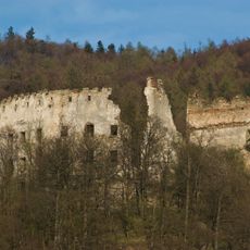
Burgruine Zelking
814 m
Burgruine Peilstein
3.3 km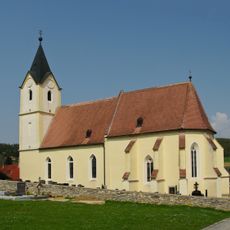
Kath. Pfarrkirche hl. Erhard und Friedhof
1.6 km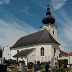
Pfarrkirche Matzleinsdorf
1.8 km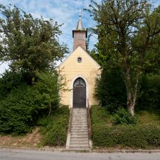
Ortskapelle Großpriel
2.4 km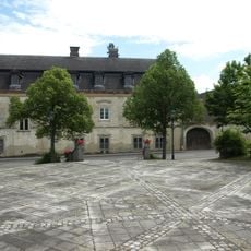
Schloss Matzleinsdorf
2 km
Befestigung Burgstall Peillenstein
3.3 km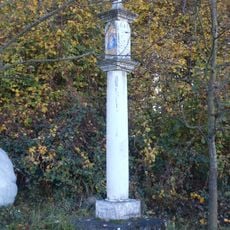
Bildstock Kollapriel
2.8 km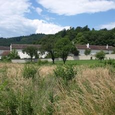
Ehem. Gutshof
1.4 km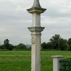
Kreuzsäule St. Leonhard am Forst
3.6 km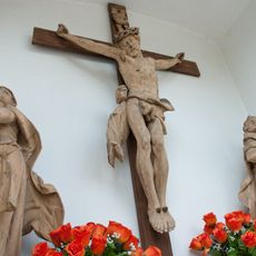
Mauernische mit Kreuzigungsgruppe
1.8 km
Wehranlage/befestigte Siedlung (ohne Datierung), Hausberg Müllnerkogel
914 m
Befestigung Burgstall Vornholz
3.8 km
Pfarrhof
1.9 km
Befestigte Höhensiedlung Anzenberger Höhe
3.8 km
Wayside cross
2.4 km
Scenic viewpoint
3.1 km
Scenic viewpoint
762 m
Wayside shrine
3.5 km
Statue, wayside shrine
3.4 km
Rogelstein
32 m
Christianity, wayside shrine
3.6 km
Wayside cross
2.2 km
Wayside shrine
3.2 km
Wayside cross
3.2 km
Wayside cross
2.9 km
Wayside cross
3.7 km
Wayside shrine
3.8 kmReviews
Visited this place? Tap the stars to rate it and share your experience / photos with the community! Try now! You can cancel it anytime.
Discover hidden gems everywhere you go!
From secret cafés to breathtaking viewpoints, skip the crowded tourist spots and find places that match your style. Our app makes it easy with voice search, smart filtering, route optimization, and insider tips from travelers worldwide. Download now for the complete mobile experience.

A unique approach to discovering new places❞
— Le Figaro
All the places worth exploring❞
— France Info
A tailor-made excursion in just a few clicks❞
— 20 Minutes