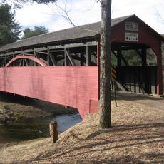
Cogan House Covered Bridge
25.2 km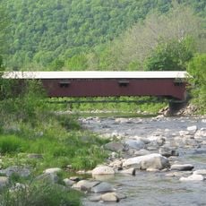
Forksville Covered Bridge
29 km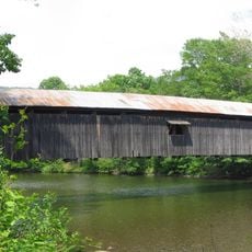
Hillsgrove Covered Bridge
23.8 km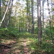
Old Loggers Path
4.1 km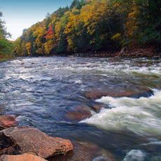
Loyalsock State Forest
18.8 km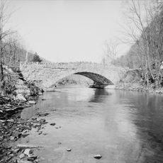
Plunketts Creek Bridge No. 3
17.2 km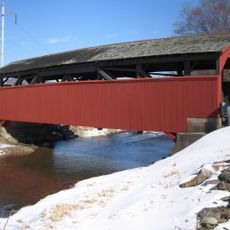
Buttonwood Covered Bridge
15.4 km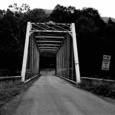
Bridge in Lewis Township
8.5 km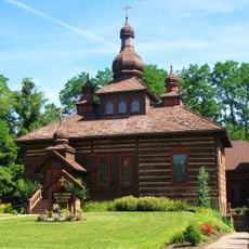
Holy Cross Orthodox Church, Williamsport, PA
29.5 km
Sharp Top Vista
9.8 km
Sprout Point Vista
12.3 km
Sullivan County Fairgrounds
29.3 km
Statue, Work of art
29.2 km
Hoagland Vista
18.8 km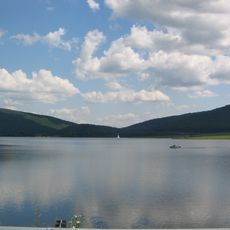
Rose Valley Lake (Pennsylvania)
15.1 km
Lower Alpine View
26.6 km
Upper Alpine View
26.9 km
Scenic viewpoint
5.4 km
Covered Bridge
23.9 km
Scenic viewpoint
4.1 km
Scenic viewpoint
23.8 km
Fall Brook Falls
17.9 km
Katy Jane West Vista
19.9 km
Katy Jane East Vista
20 km
Doe Pen Vista
19.1 km
Loyalsock Creek Vista
18.8 km
Matt Mertes Vista
18.4 km
Pipeline View
15 kmReviews
Visited this place? Tap the stars to rate it and share your experience / photos with the community! Try now! You can cancel it anytime.
Discover hidden gems everywhere you go!
From secret cafés to breathtaking viewpoints, skip the crowded tourist spots and find places that match your style. Our app makes it easy with voice search, smart filtering, route optimization, and insider tips from travelers worldwide. Download now for the complete mobile experience.

A unique approach to discovering new places❞
— Le Figaro
All the places worth exploring❞
— France Info
A tailor-made excursion in just a few clicks❞
— 20 Minutes