

Swatara State Park
11.3 km
Indiantown Gap National Cemetery
15.7 km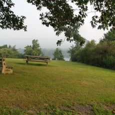
Memorial Lake State Park
15.3 km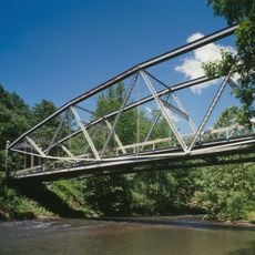
Waterville Bridge
10.3 km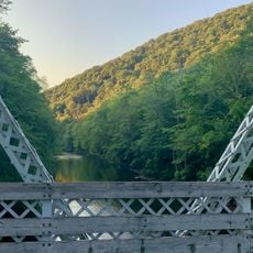
Swatara Gap
10.6 km
State Game Lands Number 80
11.4 km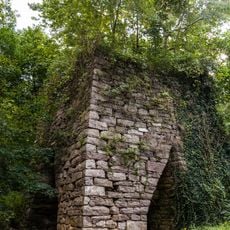
Swatara Furnace
8.9 km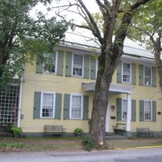
Nutting Hall
17.8 km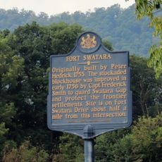
Fort Swatara
7.6 km
Pine Grove Historic District
17.8 km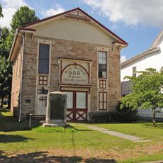
GAR Building
9 km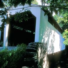
Henniger Farm Covered Bridge
16.2 km
Romberger-Stover House
19 km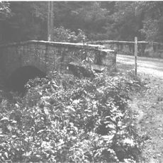
Bridge in Lykens Township No. 2
10.1 km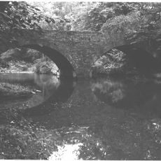
Bridge in Lykens Township No. 1
12.6 km
DeHart Reservoir
14 km
Chinese Wall
6.1 km
State Game Lands Number 211
13.7 km
State Game Lands Number 210
8.3 km
State Game Lands Number 264
7.3 km
Sweet Arrow Lake
19.6 km
State Game Lands Number 132
14.9 km
Pennsylvania National Guard Military Museum
14.8 km
Long Beaver Dam
7 km
Scenic viewpoint
15.4 km
Little Mountain Overlook
13 km
Hang Glider Launch Site
16.3 km
The General
8.9 kmReviews
Visited this place? Tap the stars to rate it and share your experience / photos with the community! Try now! You can cancel it anytime.
Discover hidden gems everywhere you go!
From secret cafés to breathtaking viewpoints, skip the crowded tourist spots and find places that match your style. Our app makes it easy with voice search, smart filtering, route optimization, and insider tips from travelers worldwide. Download now for the complete mobile experience.

A unique approach to discovering new places❞
— Le Figaro
All the places worth exploring❞
— France Info
A tailor-made excursion in just a few clicks❞
— 20 Minutes