
Sartava;Sartaba
Sartava;Sartaba
Location: שטח C
GPS coordinates: 32.09620,35.46177
Latest update: October 24, 2025 18:52
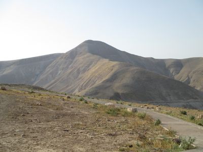
Alexandreion
54 m
Gilgal I
7.2 km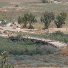
Jisr ed Damiye
6.9 km
Al-Jiftlik
6.1 km
Jiftlik Police Station
5.5 km
Sheikh Diab 2
6.3 km
Duma viewpoint
8.6 km
‘Aqabat al Buţmah
8.3 km
Ghawr al Fāri‘ah
6.3 km
Maghārat ar Rukn
8.7 km
Tall Dāmiyā
8.1 km
Mughr al ‘Abdāt
7.3 km
Mughr al Ḩabālá
7.1 km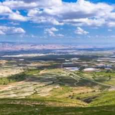
Orev Viewpoint
5.1 km
Maghārat ar Ramādāt
5.9 km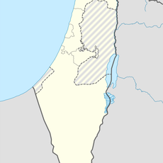
Maghārat ar Ridkah
8.3 km
Maghārat Furqūm
6.5 km
Mughr al Manākhīr
6.3 km
Mughr aţ Ţā'irah
7.7 km
מצפה אור הרנה
6.8 km
מבנה צבאי לשעבר
5.2 km
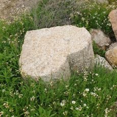
מבנה אבן
5.2 km
Gilgal, the camp of the 12 tribes
4.4 km
טחונת אל פצאיל
6.8 km
Scenic viewpoint
2 km
סיפון
878 m
תל א-שיח ד'יב
6.3 km
אקוודוקט
790 mReviews
Visited this place? Tap the stars to rate it and share your experience / photos with the community! Try now! You can cancel it anytime.
Discover hidden gems everywhere you go!
From secret cafés to breathtaking viewpoints, skip the crowded tourist spots and find places that match your style. Our app makes it easy with voice search, smart filtering, route optimization, and insider tips from travelers worldwide. Download now for the complete mobile experience.

A unique approach to discovering new places❞
— Le Figaro
All the places worth exploring❞
— France Info
A tailor-made excursion in just a few clicks❞
— 20 Minutes