Zohar head
Location: מועצה אזורית תמר
GPS coordinates: 31.23201,35.23793
Latest update: November 11, 2025 23:34

Upper Zohar
545 m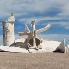
Moav Observation Point
3.2 km
Mitzpe Moav
3.2 km
Me‘arat Kidod
4.9 km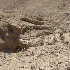
תצפית לנחל טביה ולמפל. פריחת חצבים בתחילת הסתיו.
2.6 km
384
2.8 km
Shemurat Naẖal Abbuv
2.1 km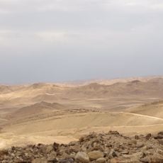
Rogem Zohar
554 m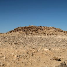
Zohar lookout
1.1 km
Scenic viewpoint
1.2 km
Oron
3.8 km
הר יהל
4.1 km
Scenic viewpoint
2.5 km
Scenic viewpoint
960 m
מצפה עופר גורני
2.6 km
Statue, Work of art
2.9 km
Fountain of Tears
4.1 km
Scenic viewpoint
2.6 km
מצפה חסד
4.8 km
Memorial
3.9 km
אנדרטה לזכר הנופלים במלחמת ששת הימים
3.8 km
שביל אסף
6.2 km
רוגם זוהר
544 m
רון קוקיא
4.3 km
אנדרטה לזכר פולי ביבס
4 km
פינת הסעות לזכר החיילת שרון טובול
4.2 km
Archaeological site
4.9 km
Archaeological site
5.4 kmReviews
Visited this place? Tap the stars to rate it and share your experience / photos with the community! Try now! You can cancel it anytime.
Discover hidden gems everywhere you go!
From secret cafés to breathtaking viewpoints, skip the crowded tourist spots and find places that match your style. Our app makes it easy with voice search, smart filtering, route optimization, and insider tips from travelers worldwide. Download now for the complete mobile experience.

A unique approach to discovering new places❞
— Le Figaro
All the places worth exploring❞
— France Info
A tailor-made excursion in just a few clicks❞
— 20 Minutes