
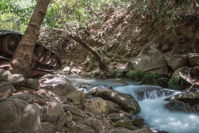
Upside Down Syrian Tank
Location: מועצה אזורית גליל עליון
GPS coordinates: 33.23570,35.67829
Latest update: November 3, 2025 18:31
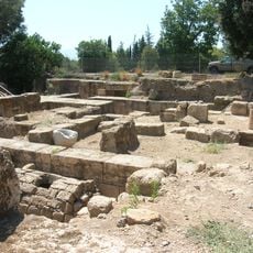
Caesarea Philippi
1.8 km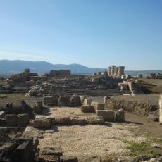
Omrit
2.4 km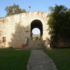
Beit Ussishkin Nature Museum
2.2 km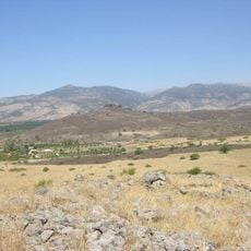
Tel Azaziat
1.6 km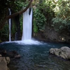
Banyas waterfall
674 m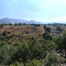
תצפית רמי ביטמן
518 m
Shemurat Naẖal HaH̱armon
2.4 km
Golani Lookout
1.6 km
טחנת אם רעי
1.1 km
Nebi Khader
2.1 km
Sa'ar waterfalls viewpoint
2.4 km
Scenic viewpoint
606 m
Gesher
1.5 km
Monument
1.6 km
Hydroelectric Station
1.8 km
טחנת קמח המופעלת בכוח המים
1.8 km
תל פאחר
1.7 km
תצפית נחל חרמון
683 m
גשר רומי
1.9 km
בורג' בביל
1.3 km
שביל אורי אילן
1.7 km
טחנת ג'דידה
913 m
Memorial
1.8 km
Ruins
2.4 km
מפל פרע
148 m
Waterfall
2.4 km
מפל סער
2.4 km
Waterfall
2.4 kmReviews
Visited this place? Tap the stars to rate it and share your experience / photos with the community! Try now! You can cancel it anytime.
Discover hidden gems everywhere you go!
From secret cafés to breathtaking viewpoints, skip the crowded tourist spots and find places that match your style. Our app makes it easy with voice search, smart filtering, route optimization, and insider tips from travelers worldwide. Download now for the complete mobile experience.

A unique approach to discovering new places❞
— Le Figaro
All the places worth exploring❞
— France Info
A tailor-made excursion in just a few clicks❞
— 20 Minutes