
The Red Canyon
Location: מועצה אזורית חבל אילות
GPS coordinates: 29.68020,34.88223
Latest update: November 12, 2025 01:14

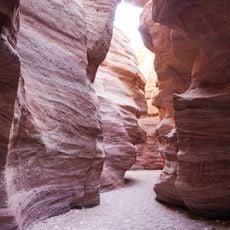
Red Canyon
562 m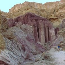
Amram Columns
5.7 km
Mt. Hizqiyyahu
4.1 km
Cukej Avrona
6 km
HaQanyon HaAdom
59 m
Shemurat Massiv Elat
4.4 km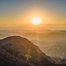
Mt. Neshef
2.2 km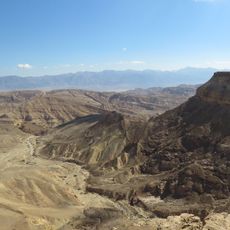
Scenic viewpoint
5.5 km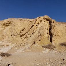
תצפית קמט שכבות
6.6 km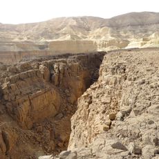
Cracks
5.4 km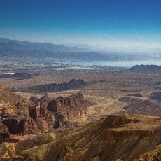
View of the Disappearing Valley
5.3 km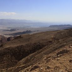
מבט ראשון של אילת וים האדום כשבאים מהצפון
5.2 km
מצפור הר חזקיהו
4.1 km
Scenic viewpoint
368 m
Scenic viewpoint
6.3 km
Scenic viewpoint
2.5 km
Scenic viewpoint
6.1 km
Scenic viewpoint
5.8 km
מצפה עמרם
5.2 km
Cracks
5.2 km
קמט שכבות
6.7 km
Amudei Amram
5.7 km
Archaeological site
1.4 km
מקדש נבטי
6.8 km
Waterfall
344 m
מפל נחל עתק
5 km
Waterfall
1.7 km
Waterfall
6.4 kmReviews
Visited this place? Tap the stars to rate it and share your experience / photos with the community! Try now! You can cancel it anytime.
Discover hidden gems everywhere you go!
From secret cafés to breathtaking viewpoints, skip the crowded tourist spots and find places that match your style. Our app makes it easy with voice search, smart filtering, route optimization, and insider tips from travelers worldwide. Download now for the complete mobile experience.

A unique approach to discovering new places❞
— Le Figaro
All the places worth exploring❞
— France Info
A tailor-made excursion in just a few clicks❞
— 20 Minutes