Wayside shrine
Location: Sankt Andrä-Wördern
GPS coordinates: 48.32325,16.20673
Latest update: November 3, 2025 15:11
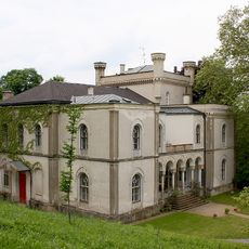
Villa Pereira
1.8 km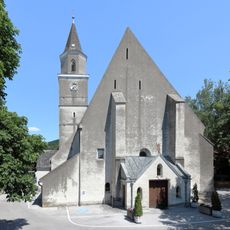
Pfarrkirche St Andrä vor dem Hagental
253 m
Kumenberg
533 m
Barbarakapelle
957 m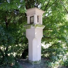
Bildstock
1.9 km
Figur hl. Johannes Nepomuk
221 m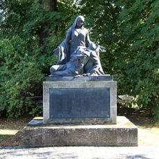
Kriegerdenkmal, Frau mit sterbendem Soldaten
779 m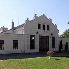
Ehem. EVN-Halle, heute Bauhofhalle
870 m
Schule
309 m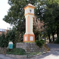
Bildstock
426 m
Hügelgrab In Erlen
1.2 km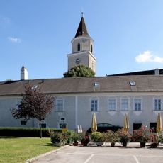
Alter Pfarrhof
218 m
Florianikapelle
227 m
Statue, memorial
221 m
Memorial, war memorial
798 m
Wayside shrine
233 m
Wayside shrine
873 m
War memorial, memorial
226 m
Barbarakapelle
957 m
Holzkreuz
1.1 km
Wayside cross
1.1 km
Christianity, Catholic church building, wayside cross
757 m
GW 1817
1.2 km
Türkenkreuz
1.3 km
Catholic church building, wayside cross, Christianity
1.6 km
Wayside cross
1.7 km
Die drei Nornen
187 m
Commemorative plaque, memorial
159 mReviews
Visited this place? Tap the stars to rate it and share your experience / photos with the community! Try now! You can cancel it anytime.
Discover hidden gems everywhere you go!
From secret cafés to breathtaking viewpoints, skip the crowded tourist spots and find places that match your style. Our app makes it easy with voice search, smart filtering, route optimization, and insider tips from travelers worldwide. Download now for the complete mobile experience.

A unique approach to discovering new places❞
— Le Figaro
All the places worth exploring❞
— France Info
A tailor-made excursion in just a few clicks❞
— 20 Minutes