Mayr-Bildstock
Location: Mautern an der Donau
GPS coordinates: 48.39380,15.59695
Latest update: November 14, 2025 11:17
State Gallery of Lower Austria
1.3 km
Heilandskirche, Krems
1.4 km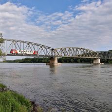
Krems railway bridge
1 km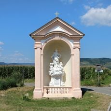
Wayside shrine
1.2 km
Anna-Kapelle
1.1 km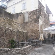
Südöstliche Bastei der Steiner Stadtbefestigung
1.3 km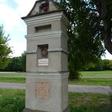
Bildstock
912 m
Melker Hof
1.4 km
Janaburg Mautern
1.3 km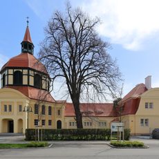
Evangelisches Pfarrhaus
1.3 km
Kastellvicus Süd
1.3 km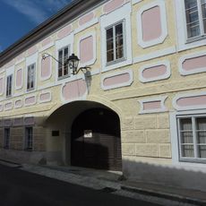
Moldhof/Feldlehenhof
1.3 km
Bürgerhaus
1.4 km
Wassergasse 1
1.4 km
Steiner Landstraße 21
1.4 km
Röm. Baureste, Bz-Gräberfeld
457 m
Steiner Landstraße 19
1.4 km
Dr.-Keckeis-Gasse 1
1.3 km
Stein an der Donau (Samian Ware Discovery Site)
1.2 km
Motor-Yacht-Club Wachau
1.1 km
ÖAMTC Donaupark Camping
1.1 km
Work of art, sculpture
1.2 km
Work of art, sculpture
1.3 km
Hauerkreuz
1.1 km
Wayside cross
644 m
Wayside shrine, Christianity
790 m
August Kargl
1.3 km
Gerasimos Garnelis
1.3 kmReviews
Visited this place? Tap the stars to rate it and share your experience / photos with the community! Try now! You can cancel it anytime.
Discover hidden gems everywhere you go!
From secret cafés to breathtaking viewpoints, skip the crowded tourist spots and find places that match your style. Our app makes it easy with voice search, smart filtering, route optimization, and insider tips from travelers worldwide. Download now for the complete mobile experience.

A unique approach to discovering new places❞
— Le Figaro
All the places worth exploring❞
— France Info
A tailor-made excursion in just a few clicks❞
— 20 Minutes