
House of prayer, place of worship, wayside shrine
House of prayer, place of worship, wayside shrine
Location: St. Anton an der Jeßnitz
GPS coordinates: 47.95242,15.22679
Latest update: November 14, 2025 03:45
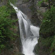
Trefflingfall
3.8 km
Pfarrkirche Sankt Anton an der Jeßnitz
1.7 km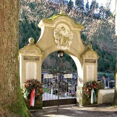
Friedhof
2 km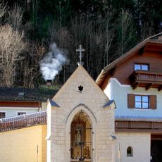
Bruderladkapelle
2.4 km
Heimatmuseum, sog. Töpper´sche Bruderlade
2.3 km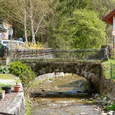
Jeßnitzbrücke
2.3 km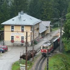
Winterbach railway station
3.6 km
Luegeraquädukt
4.4 km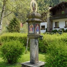
Bildstock, sog. Antoni-Kreuz
2.2 km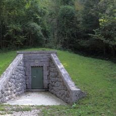
Zugangsstollen 52
4.4 km
Pfarrhof
1.7 km
Gemeindeamt
1.8 km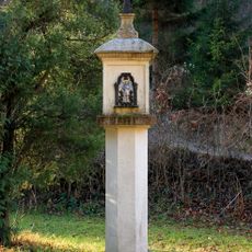
Übelbachgrabenkreuz
314 m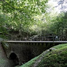
Einsteigturm 51, Kanalbrücke Sulzgraben
4.1 km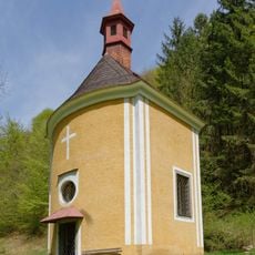
Kalvarienberg
1.5 km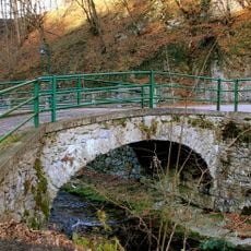
Fußgängerbrücke
2 km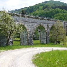
Luegeraquädukt
4.4 km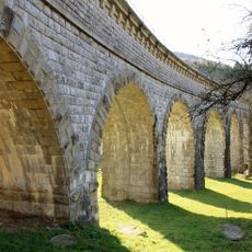
Luegeraquädukt
4.4 km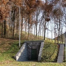
Einstiegskammer 53
4.4 km
Frankenstein ruins
4.4 km
Rainstein
4.2 km
Shelter, scenic viewpoint, picnic shelter
3.3 km
Wayside cross
3.8 km
Wayside cross
4.1 km
Wayside shrine
4.1 km
Wayside cross
4 km
Wayside shrine
3.3 km
Waterfall, tourist attraction
3.3 kmReviews
Visited this place? Tap the stars to rate it and share your experience / photos with the community! Try now! You can cancel it anytime.
Discover hidden gems everywhere you go!
From secret cafés to breathtaking viewpoints, skip the crowded tourist spots and find places that match your style. Our app makes it easy with voice search, smart filtering, route optimization, and insider tips from travelers worldwide. Download now for the complete mobile experience.

A unique approach to discovering new places❞
— Le Figaro
All the places worth exploring❞
— France Info
A tailor-made excursion in just a few clicks❞
— 20 Minutes