Wayside shrine
Location: Mautern an der Donau
GPS coordinates: 48.38255,15.57185
Latest update: November 3, 2025 15:27

Schloss Baumgarten
822 m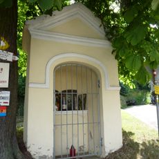
Wegkapelle
962 m
Bauernhof (Anlage)
882 m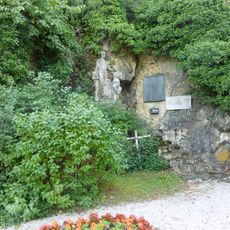
Kriegerdenkmal Mauternbach
965 m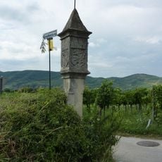
Bildstock Baumgarten bei Mautern Nord
695 m
Bauernhof (Anlage)
989 m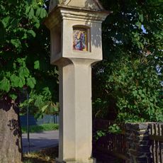
Mautern Melkerstraße Bildstock
1.1 km
Ehem. St. Pöltner Hof
962 m
Römerstraße Mauternbach
1 km
Bildstock, Ladoschenkreuz
748 m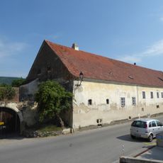
Mauternbach 6
819 m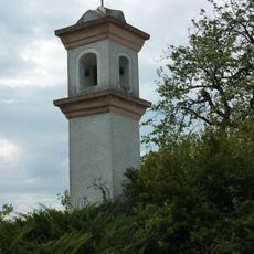
Bildstock
1.2 km
Mauternbach 18
967 m
Anna-Marterl
442 m
Scenic viewpoint
8 m
Wayside shrine
875 m
Wayside cross
447 m
Wayside shrine
928 m
Rotes Kreuz
852 m
Wayside cross
268 m
Work of art
857 m
Memorial, war memorial
445 m
Wayside shrine
970 m
Wayside cross
774 m
Kriegerdenkmal
743 m
Wayside shrine
737 m
Bench, scenic viewpoint
1.1 km
Memorial, war memorial
1.2 kmReviews
Visited this place? Tap the stars to rate it and share your experience / photos with the community! Try now! You can cancel it anytime.
Discover hidden gems everywhere you go!
From secret cafés to breathtaking viewpoints, skip the crowded tourist spots and find places that match your style. Our app makes it easy with voice search, smart filtering, route optimization, and insider tips from travelers worldwide. Download now for the complete mobile experience.

A unique approach to discovering new places❞
— Le Figaro
All the places worth exploring❞
— France Info
A tailor-made excursion in just a few clicks❞
— 20 Minutes