Wayside shrine
Location: Hohenwarth-Mühlbach am Manhartsberg
GPS coordinates: 48.51914,15.78326
Latest update: November 14, 2025 19:08

Mühlbach Castle
555 m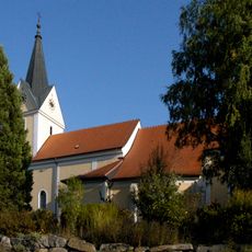
Saint Martin Church
602 m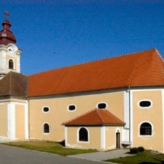
Pfarrkirche Zemling
1.3 km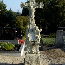
Friedhofskreuz
609 m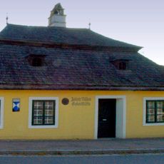
Bauernhaus, Josef-Misson-Haus
512 m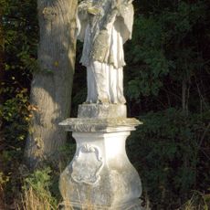
Figur heiliger Johannes Nepomuk
1.8 km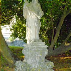
Figur heiliger Johannes Nepomuk
440 m
Figur heiliger Florian
458 m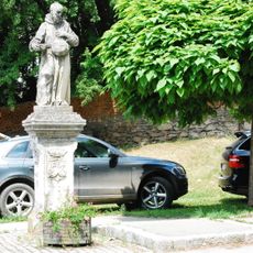
Figurenbildstock heiliger Felix von Cantalice
537 m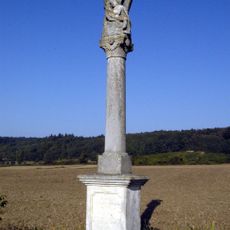
Pietà
1 m
Figur heiliger Johannes Nepomuk
1.3 km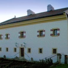
Former Pfarrhof Zemling
1.3 km
Kreisgrabenanlage Rosenäcker
1.1 km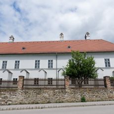
Ehem. Pfarrhof Mühlbach
633 m
Mural, Work of art
1.1 km
Mural, Work of art
1.1 km
Christianity, Catholic church building, wayside cross
1.6 km
Christianity, Catholic church building, wayside cross
567 m
Wayside shrine
1.3 km
Wayside shrine
854 m
Catholic church building, wayside cross, Christianity
639 m
Wayside shrine
948 m
Wayside shrine
1 km
Wayside cross
1.3 km
Wayside cross
914 m
Tree, wayside shrine
1.2 km
Wayside cross
1.6 km
Mairingerkreuz
917 mReviews
Visited this place? Tap the stars to rate it and share your experience / photos with the community! Try now! You can cancel it anytime.
Discover hidden gems everywhere you go!
From secret cafés to breathtaking viewpoints, skip the crowded tourist spots and find places that match your style. Our app makes it easy with voice search, smart filtering, route optimization, and insider tips from travelers worldwide. Download now for the complete mobile experience.

A unique approach to discovering new places❞
— Le Figaro
All the places worth exploring❞
— France Info
A tailor-made excursion in just a few clicks❞
— 20 Minutes