Wayside shrine
Location: Emmersdorf an der Donau
GPS coordinates: 48.24666,15.34391
Latest update: November 13, 2025 22:03
Local museum Emmersdorf
823 m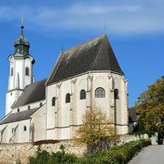
Pfarrkirche St. Nikolaus Emmersdorf
831 m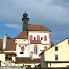
Chapel Maria Magdalena, Emmersdorf
774 m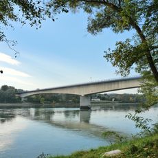
Melk Danube Bridge
496 m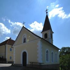
Ortskapelle Gossam
1.2 km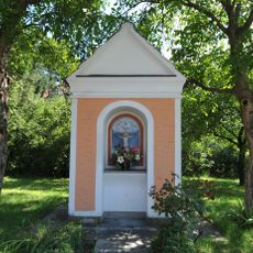
Wegkapelle
257 m
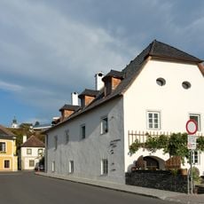
Farmhouse, Emmersdorf an der Donau 6
748 m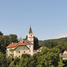
Schloss Rotenhof, Emmersdorf an der Donau
1 km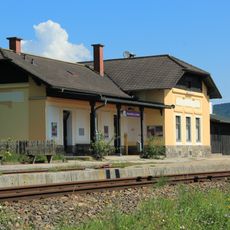
Emmersdorf an der Donau station building
624 m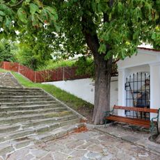
Figurenbildstock hl. Koloman
784 m
Gemeindeamt Emmersdorf an der Donau
923 m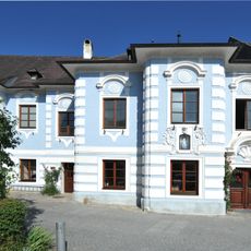
Emmersdorf 21
903 m
Wohnhaus mit Nischenfigur
775 m
Schule
748 m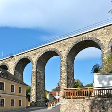
Bahnviadukt Emmersdorf
833 m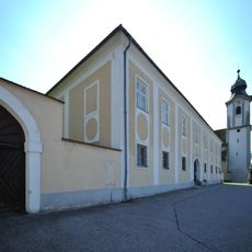
Pfarrhof Emmersdorf an der Donau
800 m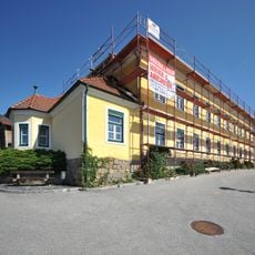
Schule
701 m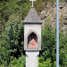
Bildstock
150 m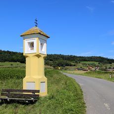
Bildstock
778 m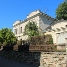
Bürgerhaus
704 m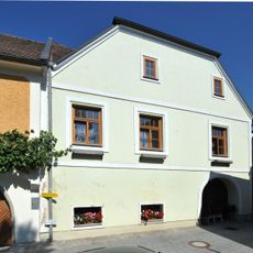
Wohnhaus
868 m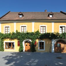
Wohnhaus
883 m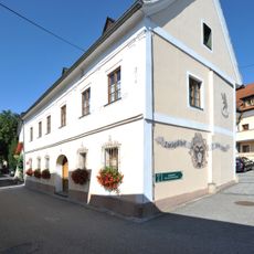
Bürgerhaus
733 m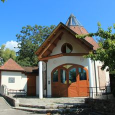
Aufbahrungshalle
789 m
Memorial
878 m
Wayside shrine
856 m
Wayside shrine
774 m
Wayside shrine
1.1 kmReviews
Visited this place? Tap the stars to rate it and share your experience / photos with the community! Try now! You can cancel it anytime.
Discover hidden gems everywhere you go!
From secret cafés to breathtaking viewpoints, skip the crowded tourist spots and find places that match your style. Our app makes it easy with voice search, smart filtering, route optimization, and insider tips from travelers worldwide. Download now for the complete mobile experience.

A unique approach to discovering new places❞
— Le Figaro
All the places worth exploring❞
— France Info
A tailor-made excursion in just a few clicks❞
— 20 Minutes