
Whipping post, pillory
Location: Sitzenberg-Reidling
GPS coordinates: 48.29717,15.82896
Latest update: November 3, 2025 18:30
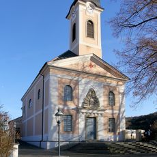
Pfarrkirche Reidling
2.5 km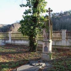
Grabmal der Freifrau von Rumerskirchen
2.4 km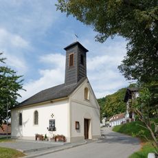
Ortskapelle hl. Margarethe
138 m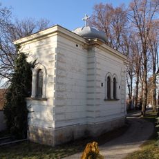
Mausoleum der Familie Rumerskirchen
2.5 km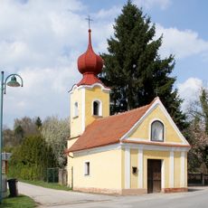
Ortskapelle Tautendorf
2.3 km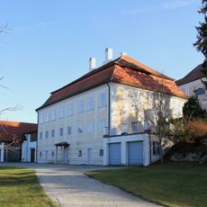
Pfarrhof
2.6 km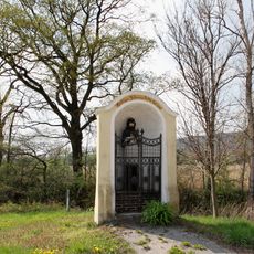
Bildstock
2.5 km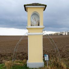
Bildstock
2.2 km
Wayside shrine
2 km
Wayside cross
2.4 km
Wayside cross
1.8 km
Wiesenkreuz
1.9 km
Watzendorf Türkenkreuzrunde
2 km
Christianity, Catholic church building, wayside cross
1.5 km
Catholic church building, wayside cross, Christianity
2.1 km
Wayside cross
2.2 km
Wayside shrine
1.2 km
Tree, wayside shrine
2.3 km
Wayside cross
1.1 km
Wayside cross
1.7 km
Tomb
2.4 km
Catholic church building, wayside cross, Christianity
1.1 km
Wayside cross
822 m
Memorial
2.5 km
Wayside shrine
2.5 km
Wayside shrine
814 m
Memorial, war memorial
2.5 km
Wayside cross
355 mReviews
Visited this place? Tap the stars to rate it and share your experience / photos with the community! Try now! You can cancel it anytime.
Discover hidden gems everywhere you go!
From secret cafés to breathtaking viewpoints, skip the crowded tourist spots and find places that match your style. Our app makes it easy with voice search, smart filtering, route optimization, and insider tips from travelers worldwide. Download now for the complete mobile experience.

A unique approach to discovering new places❞
— Le Figaro
All the places worth exploring❞
— France Info
A tailor-made excursion in just a few clicks❞
— 20 Minutes