Wayside shrine
Location: Brunn am Gebirge
GPS coordinates: 48.10561,16.28569
Latest update: November 11, 2025 15:27
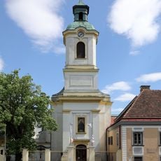
Franziskanerkloster Maria Enzersdorf
517 m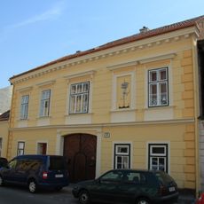
Ehem. Weinhauerhof, sog. Altes Rathaus
354 m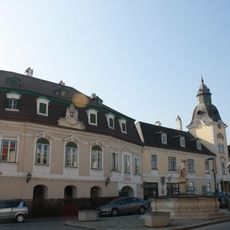
Rathaus/Gemeindeamt, sog. Bründlerhof
232 m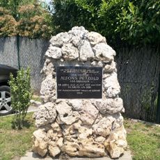
Alfons Petzold memorial
212 m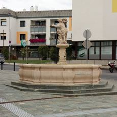
Donatus-Brunnen/Marktbrunnen
229 m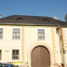
Gliedererhof, Brunn am Gebirge
311 m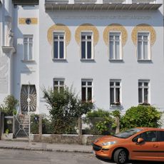
Wohnhaus Franz-Keim-Gasse 6
626 m
Klosterkirche Maria Enzersdorf
517 m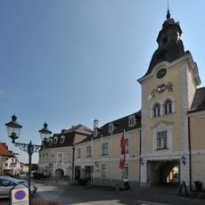
Altes Rathaus, Brunn am Gebirge
232 m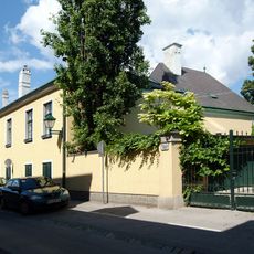
Ehem. Gutshof
608 m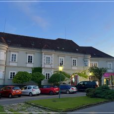
Annenhof
551 m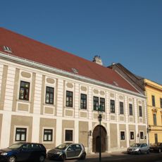
Josefsheim, ehemaliger Thurnhof
369 m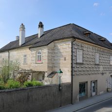
Riefelhaus, Maria Enzersdorf
469 m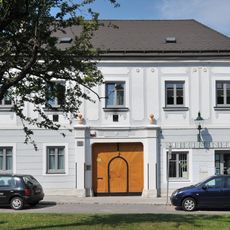
Bürgerhaus
296 m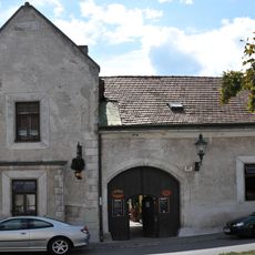
Winzerhaus
372 m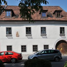
Paltramhof
473 m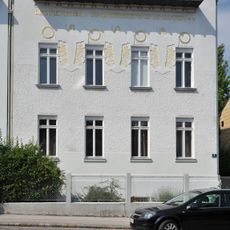
Wohnhaus Franz-Keim-Gasse 4
619 m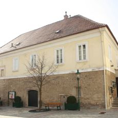
Pfarrhof/ ehem. Zechhof
178 m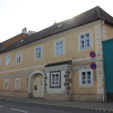
Bürgerhaus
611 m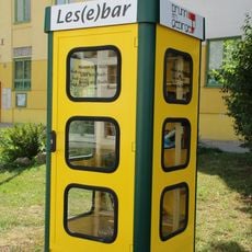
Public bookcase Brunn am Gebirge
221 m
Statue, Work of art
352 m
Work of art
132 m
Statue, Work of art
622 m
Sculpture, Work of art
610 m
Memorial, war memorial
505 m
Guter Hirte
541 m
St. Urban
504 m
Alfons Petzold
213 mReviews
Visited this place? Tap the stars to rate it and share your experience / photos with the community! Try now! You can cancel it anytime.
Discover hidden gems everywhere you go!
From secret cafés to breathtaking viewpoints, skip the crowded tourist spots and find places that match your style. Our app makes it easy with voice search, smart filtering, route optimization, and insider tips from travelers worldwide. Download now for the complete mobile experience.

A unique approach to discovering new places❞
— Le Figaro
All the places worth exploring❞
— France Info
A tailor-made excursion in just a few clicks❞
— 20 Minutes