Wayside shrine
Location: St. Martin im Mühlkreis
GPS coordinates: 48.42556,13.98037
Latest update: November 3, 2025 14:58
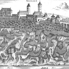
Burg Neuhaus
890 m
Pumped Storage Station Partenstein
990 m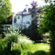
Schloss Partenstein
810 m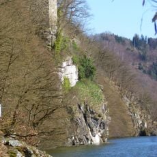
Lauerturm
645 m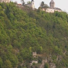
Schlossberg Neuhaus
919 m
Wegkapelle
883 m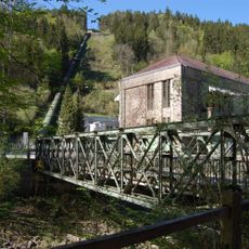
Kohnbrücke
972 m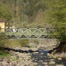
Sog. Kohnbrücke, Brücke über die Große Mühl
964 m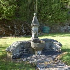
Brunnen Partenstein
924 m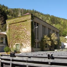
Kraftwerk Partenstein Maschinenhaus
967 m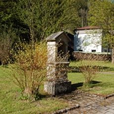
Bildstock Partenstein
913 m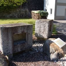
Widerlager Schwarzenbergscher Schwemmkanal
884 m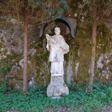
Figurenbildstock Johannes Nepomuk
960 m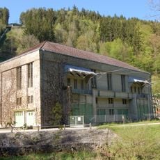
Kraftwerk Partenstein 110-kV-Schalthaus
1 km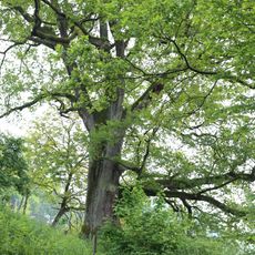
Eiche in Untermühl
127 m
Fischerkreuz
361 m
Kurt Mayrhuber 1973
933 m
Wayside shrine
375 m
Wayside cross
841 m
KW Aschach, Untermühl
624 m
Wayside shrine
327 m
Memorial
929 m
Hofstattkreuz
455 m
Gartnerkapelle
517 m
Wayside cross
211 m
Burg Partenstein
803 m
Wayside shrine
142 m
Raubschloss Kasten
718 mReviews
Visited this place? Tap the stars to rate it and share your experience / photos with the community! Try now! You can cancel it anytime.
Discover hidden gems everywhere you go!
From secret cafés to breathtaking viewpoints, skip the crowded tourist spots and find places that match your style. Our app makes it easy with voice search, smart filtering, route optimization, and insider tips from travelers worldwide. Download now for the complete mobile experience.

A unique approach to discovering new places❞
— Le Figaro
All the places worth exploring❞
— France Info
A tailor-made excursion in just a few clicks❞
— 20 Minutes