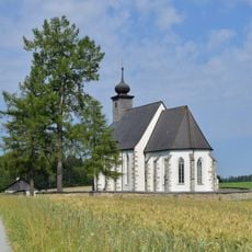
Hubertus
Location: St. Oswald bei Freistadt
GPS coordinates: 48.52100,14.59876
Latest update: November 3, 2025 15:30
Filialkirche hl. Michael ob Rauchenödt
2 km
Golfclub St.Oswald - Freistadt
2.1 km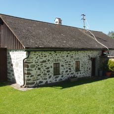
Mesnerhaus hl. Michael ob Rauchenödt
2 km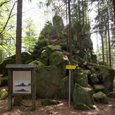
Hussenstein bei Fünfling
464 m
Freilichtmuseum Ledermühle
2.3 km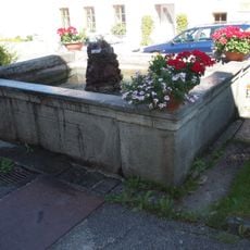
Marktbrunnen
2.3 km
Erstes Oberösterreichisches Schnapsmuseum
1.6 km
Burgstall Hussenstein
462 m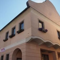
Postgebäude, Schule
2.4 km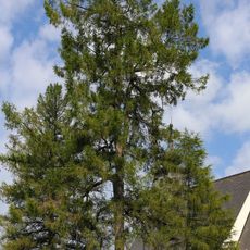
Lärche in Rauchenödt
2 km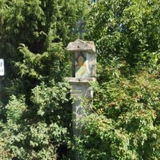
Tabernakelpfeiler
2 km
Wayside shrine
2.1 km
Wayside shrine
2.2 km
Wayside shrine
2 km
Scenic viewpoint
2 km
Wayside shrine
2.1 km
Wayside shrine
2.1 km
Wayside shrine
2.1 km
Wayside shrine
2.1 km
Memorial stone, memorial
2.2 km
Wayside shrine
2.1 km
Wayside shrine
2.2 km
Wayside shrine
2.3 km
Feldaistursprung
1.6 km
Catholic church building, wayside cross, Christianity
2.3 km
Memorial, memorial stone
2.3 km
Scenic viewpoint
461 m
Hussenstein
379 mReviews
Visited this place? Tap the stars to rate it and share your experience / photos with the community! Try now! You can cancel it anytime.
Discover hidden gems everywhere you go!
From secret cafés to breathtaking viewpoints, skip the crowded tourist spots and find places that match your style. Our app makes it easy with voice search, smart filtering, route optimization, and insider tips from travelers worldwide. Download now for the complete mobile experience.

A unique approach to discovering new places❞
— Le Figaro
All the places worth exploring❞
— France Info
A tailor-made excursion in just a few clicks❞
— 20 Minutes