Wayside shrine
Location: Neustift-Innermanzing
GPS coordinates: 48.12819,15.90833
Latest update: November 3, 2025 15:06
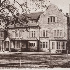
Tannenmühle
1.1 km
Pfarrkirche Brand-Laaben
3.7 km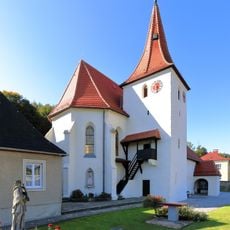
Pfarrkirche Altlengbach
3.1 km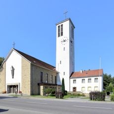
Kirche Heiliger Augustin, Neustift-Innermanzing
527 m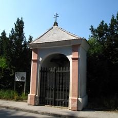
Meadow chapel Herrgottschmiede
3.7 km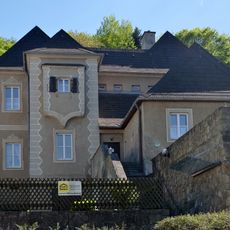
Pfarrhof Altlengbach
3.1 km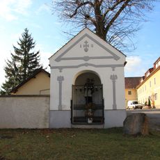
Johanni-Kapelle
3.7 km
Ortskapelle
1.9 km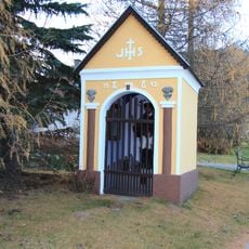
Schilling-Kapelle
3.6 km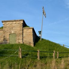
Auslaufkammer Laabenbachdüker (AK 97), Ein- und Auslaufkammer Gerhardsbachdüker (EK 99, AK 100), 2 Einsteigtürme (98, 101), Kanalbrücke Steinhäusl
3.8 km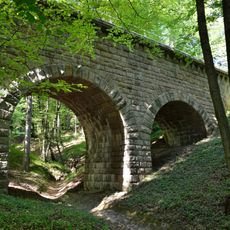
Ödgrabenaquädukt
3.6 km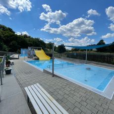
Freibad Altlengbach
3.1 km
2 Einsteigtürme (94, 95)
4 km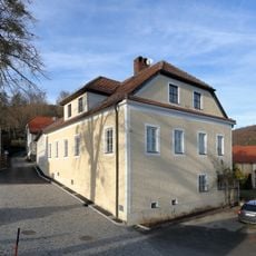
Pfarrhof
3.7 km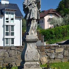
Statue of John of Nepomuk, Altlengbach
3.1 km
Grubholzbachaquädukt
4 km
Grubholzbachaquädukt
4 km
Schöpflblick
1.2 km
Wayside shrine
3.6 km
Bench, wayside cross, Christianity, Catholic church building
3 km
Golfclub Wienerwald
3.1 km
Wayside shrine
1.2 km
Schneebergblick
2.6 km
Wayside cross
3.7 km
Rotes Kreuz
2.5 km
Wayside shrine
3.9 km
Wayside cross
3 km
Memorial
1.9 kmReviews
Visited this place? Tap the stars to rate it and share your experience / photos with the community! Try now! You can cancel it anytime.
Discover hidden gems everywhere you go!
From secret cafés to breathtaking viewpoints, skip the crowded tourist spots and find places that match your style. Our app makes it easy with voice search, smart filtering, route optimization, and insider tips from travelers worldwide. Download now for the complete mobile experience.

A unique approach to discovering new places❞
— Le Figaro
All the places worth exploring❞
— France Info
A tailor-made excursion in just a few clicks❞
— 20 Minutes