Wayside cross
Location: Nußdorf ob der Traisen
GPS coordinates: 48.34062,15.66498
Latest update: November 14, 2025 08:18
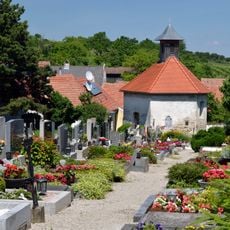
Friedhof Inzersdorf an der Traisen
2.3 km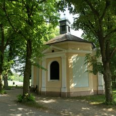
Kapelle Maria Elend bei Kuffern
880 m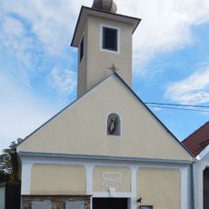
Ortskapelle Höbenbach, Paudorf
1.5 km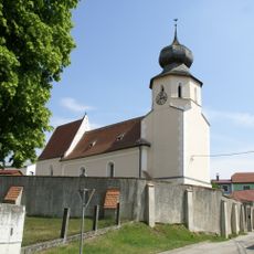
Kath. Filialkirche hl. Pankratius und Friedhof mit Wehrmauer
2.1 km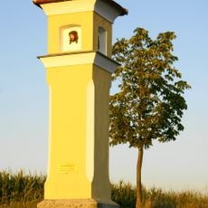
Bildstock, Rampelkreuz
1.8 km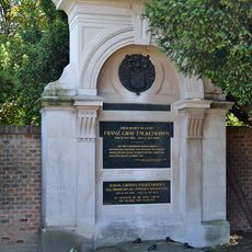
Grabdenkmäler Falkenhayn und Colloredo-Wallsee samt Einfriedung
2.3 km
Abgebrochenes Kreuz
1.3 km
Werner-R.-Gedenkstätte
1.9 km
Scenic viewpoint
883 m
Rampelkreuz
1.8 km
Weinbergschnecke
1.7 km
Scenic viewpoint
2.3 km
Rampelkreuz
1.8 km
Rotes Kreuz
1.1 km
Sculpture, Work of art
2.3 km
Wohnhöhle
1.8 km
Wayside shrine
2.3 km
Theyerner Höhe
1.6 km
Unteres Docknerkreuz
2 km
Oberes Docknerkreuz
2 km
Bischofkreuz
1.3 km
Wayside shrine
2.2 km
Wayside shrine
1.4 km
Wayside shrine
2 km
Wayside shrine
2.2 km
Wayside shrine
1.6 km
Weißes Kreuz
1.7 km
Böckbild
1.8 kmReviews
Visited this place? Tap the stars to rate it and share your experience / photos with the community! Try now! You can cancel it anytime.
Discover hidden gems everywhere you go!
From secret cafés to breathtaking viewpoints, skip the crowded tourist spots and find places that match your style. Our app makes it easy with voice search, smart filtering, route optimization, and insider tips from travelers worldwide. Download now for the complete mobile experience.

A unique approach to discovering new places❞
— Le Figaro
All the places worth exploring❞
— France Info
A tailor-made excursion in just a few clicks❞
— 20 Minutes