Wayside shrine
Location: Mannersdorf am Leithagebirge
GPS coordinates: 47.97582,16.60370
Latest update: November 3, 2025 14:59
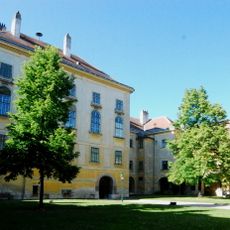
Schloss Mannersdorf am Leithagebirge
169 m
Werksiedlung Mannersdorf
411 m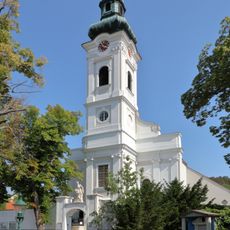
Martinskirche
633 m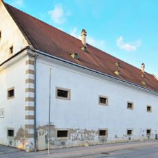
Schüttkasten Mannersdorf am Leithagebirge
315 m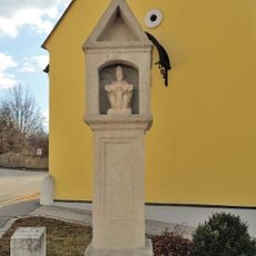
Bildstock
637 m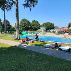
Thermalbad
459 m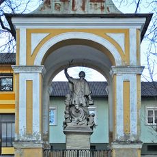
Nepomuk-Kapelle, Mannersdorf am Leithagebirge
399 m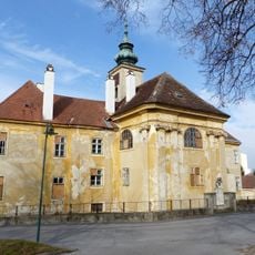
Perlmooser-Hof, Mannersdorf am Leithagebirge
400 m
Friedhofsportal mit Figur hl. Martin, Umfassungsmauer und 3 Grabdenkmälern
621 m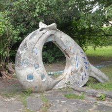
Spielplastik Rutsche mit Planschbecken, ehem. Werkssiedlung
404 m
Mortuary Mannersdorf am Leithagebirge
598 m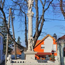
Pest-/Dreifaltigkeitssäule
168 m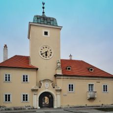
Former Rathaus, Mannersdorf am Leithagebirge
488 m
Edmund Adler - Galerie
553 m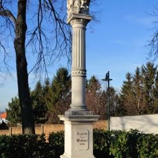
Figurenbildstock
603 m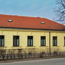
Adlerhaus
856 m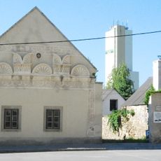
Sgraffitohaus
90 m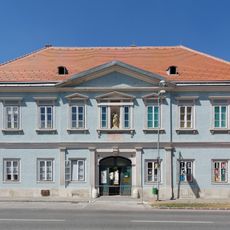
Wohnhaus, ehem. Schule
495 m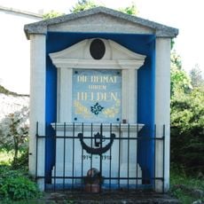
Kriegerdenkmal in Mannersdorf am Leithagebirge
619 m
Gerichtsstöckl
213 m
Arbeiterwohnhaus
379 m
Weißes Kreuz
342 m
Work of art, sculpture
619 m
Drinking fountain, water well
561 m
Polly Kreuz
437 m
Sgraffitohaus
124 m
Opferkuh Marterl
351 m
Wayside cross
659 mReviews
Visited this place? Tap the stars to rate it and share your experience / photos with the community! Try now! You can cancel it anytime.
Discover hidden gems everywhere you go!
From secret cafés to breathtaking viewpoints, skip the crowded tourist spots and find places that match your style. Our app makes it easy with voice search, smart filtering, route optimization, and insider tips from travelers worldwide. Download now for the complete mobile experience.

A unique approach to discovering new places❞
— Le Figaro
All the places worth exploring❞
— France Info
A tailor-made excursion in just a few clicks❞
— 20 Minutes